Distance to Grasonville, Maryland

Calculating Your Route
Just a moment while we process your request...
Location Information
-
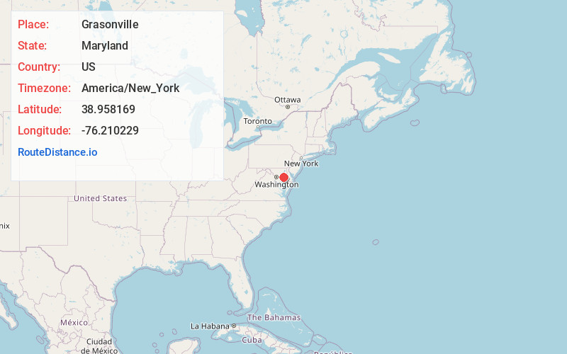
Full AddressGrasonville, MD
-
Coordinates38.9581686, -76.2102288
-
LocationGrasonville , Maryland , US
-
TimezoneAmerica/New_York
-
Current Local Time3:18:02 PM America/New_YorkTuesday, June 24, 2025
-
Page Views0
About Grasonville
Grasonville is a census-designated place in Queen Anne's County, Maryland, United States. The population was 2,193 at the 2000 census.


Nearby Places
Found 10 places within 50 miles

Chester
4.4 mi
7.1 km
Chester, MD
Get directions

Stevensville
5.8 mi
9.3 km
Stevensville, MD 21666
Get directions

Centreville
9.6 mi
15.4 km
Centreville, MD 21617
Get directions

Cape St Claire
13.9 mi
22.4 km
Cape St Claire, MD 21409
Get directions

Easton
14.6 mi
23.5 km
Easton, MD 21601
Get directions

Annapolis
15.1 mi
24.3 km
Annapolis, MD
Get directions

Arnold
16.5 mi
26.6 km
Arnold, MD
Get directions

Mayo
16.9 mi
27.2 km
Mayo, MD
Get directions

Lake Shore
18.0 mi
29.0 km
Lake Shore, MD 21122
Get directions

Shady Side
18.1 mi
29.1 km
Shady Side, MD
Get directions
Location Links
Local Weather
Weather Information
Coming soon!
Location Map
Static map view of Grasonville, Maryland
Browse Places by Distance
Places within specific distances from Grasonville
Short Distances
Long Distances
Click any distance to see all places within that range from Grasonville. Distances shown in miles (1 mile ≈ 1.61 kilometers).