Distance to McDaniels, Georgia

Calculating Your Route
Just a moment while we process your request...
Location Information
-
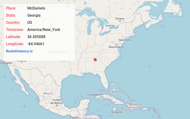
Full AddressMcDaniels, Calhoun, GA 30701
-
Coordinates34.4550884, -84.9466097
-
LocationCalhoun , Georgia , US
-
TimezoneAmerica/New_York
-
Current Local Time3:40:56 AM America/New_YorkThursday, June 19, 2025
-
Page Views0
About McDaniels
McDaniels is an unincorporated community in Pickens County, in the U.S. state of Georgia.
Nearby Places
Found 10 places within 50 miles

Calhoun
3.3 mi
5.3 km
Calhoun, GA
Get directions

New Town
5.7 mi
9.2 km
New Town, GA 30701
Get directions
Farmville
5.8 mi
9.3 km
Farmville, GA 30701
Get directions

Adairsville
6.0 mi
9.7 km
Adairsville, GA 30103
Get directions

Plainville
6.2 mi
10.0 km
Plainville, GA 30733
Get directions
Crane Eater
6.4 mi
10.3 km
Crane Eater, GA 30701
Get directions

Cash
7.7 mi
12.4 km
Cash, GA 30139
Get directions
Sonoraville
7.9 mi
12.7 km
Sonoraville, GA 30701
Get directions
Snow Springs
8.1 mi
13.0 km
Snow Springs, GA 30103
Get directions
Folsom
8.4 mi
13.5 km
Folsom, GA 30103
Get directions
Location Links
Local Weather
Weather Information
Coming soon!
Location Map
Static map view of McDaniels, Georgia
Browse Places by Distance
Places within specific distances from McDaniels
Short Distances
Long Distances
Click any distance to see all places within that range from McDaniels. Distances shown in miles (1 mile ≈ 1.61 kilometers).