Distance to McDonald Chapel, Alabama

Calculating Your Route
Just a moment while we process your request...
Location Information
-
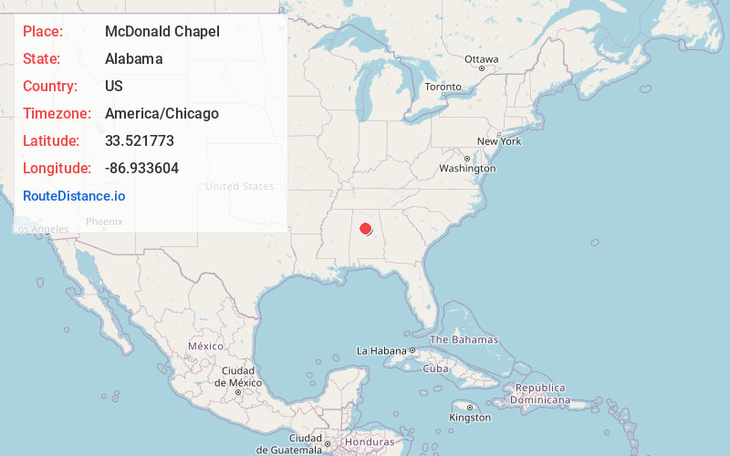
Full AddressMcDonald Chapel, AL 35224
-
Coordinates33.521773, -86.9336042
-
LocationMcDonald Chapel , Alabama , US
-
TimezoneAmerica/Chicago
-
Current Local Time2:37:31 PM America/ChicagoWednesday, June 18, 2025
-
Page Views0
About McDonald Chapel
McDonald Chapel is a census-designated place in Jefferson County, Alabama, United States. It is northeast of the Birmingham suburb of Pleasant Grove. At the 2020 census, the population was 739. Large portions of this area were damaged by violent tornadoes in 1956, 1998, and 2011.
Nearby Places
Found 10 places within 50 miles

Minor
1.1 mi
1.8 km
Minor, AL 35224
Get directions
Edgewater
1.4 mi
2.3 km
Edgewater, AL 35224
Get directions

Fairfield
2.8 mi
4.5 km
Fairfield, AL
Get directions

Pleasant Grove
3.0 mi
4.8 km
Pleasant Grove, AL
Get directions

Mulga
3.4 mi
5.5 km
Mulga, AL
Get directions

Forestdale
4.0 mi
6.4 km
Forestdale, AL
Get directions
Midfield
4.4 mi
7.1 km
Midfield, AL
Get directions
Sylvan Springs
4.7 mi
7.6 km
Sylvan Springs, AL
Get directions

Adamsville
5.6 mi
9.0 km
Adamsville, AL
Get directions

Hueytown
6.1 mi
9.8 km
Hueytown, AL
Get directions
Location Links
Local Weather
Weather Information
Coming soon!
Location Map
Static map view of McDonald Chapel, Alabama
Browse Places by Distance
Places within specific distances from McDonald Chapel
Short Distances
Long Distances
Click any distance to see all places within that range from McDonald Chapel. Distances shown in miles (1 mile ≈ 1.61 kilometers).