Distance to Mcglendon Mill, Arkansas

Calculating Your Route
Just a moment while we process your request...
Location Information
-
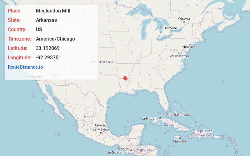
Full AddressMcglendon Mill, AR 71765
-
Coordinates33.1920692, -92.2937514
-
LocationArkansas , US
-
TimezoneAmerica/Chicago
-
Current Local Time8:15:27 PM America/ChicagoSunday, June 22, 2025
-
Page Views0
Nearby Places
Found 10 places within 50 miles

Strong
6.7 mi
10.8 km
Strong, AR
Get directions

Moro Bay
8.6 mi
13.8 km
Moro Bay, AR 71651
Get directions
Urbana
9.1 mi
14.6 km
Urbana, AR 71730
Get directions
Lawson
10.9 mi
17.5 km
Lawson, AR 71730
Get directions
Huttig
12.3 mi
19.8 km
Huttig, AR 71747
Get directions

Felsenthal
12.6 mi
20.3 km
Felsenthal, AR 71747
Get directions
Kinard
12.9 mi
20.8 km
Kinard, AR 71730
Get directions
Crain City
13.4 mi
21.6 km
Crain City, AR 71730
Get directions
Oakland
14.0 mi
22.5 km
Oakland, LA 71260
Get directions
Old Union
14.3 mi
23.0 km
Old Union, AR 71730
Get directions
Location Links
Local Weather
Weather Information
Coming soon!
Location Map
Static map view of Mcglendon Mill, Arkansas
Browse Places by Distance
Places within specific distances from Mcglendon Mill
Short Distances
Long Distances
Click any distance to see all places within that range from Mcglendon Mill. Distances shown in miles (1 mile ≈ 1.61 kilometers).