Distance to Lawson, Arkansas

Calculating Your Route
Just a moment while we process your request...
Location Information
-
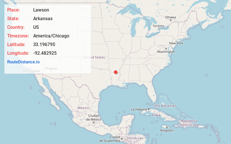
Full AddressLawson, AR 71730
-
Coordinates33.1967951, -92.4829253
-
LocationLawson , Arkansas , US
-
TimezoneAmerica/Chicago
-
Current Local Time4:18:30 AM America/ChicagoSunday, June 22, 2025
-
Page Views0
About Lawson
Lawson is an unincorporated community and census-designated place in Union County, Arkansas, United States. Lawson was founded by Lawson Smith, who was born in 1813 and died in 1899. Lawson is located on Arkansas Highway 129, 10.5 miles east of El Dorado. Lawson has a post office with ZIP code 71750.
Nearby Places
Found 10 places within 50 miles

Urbana
3.3 mi
5.3 km
Urbana, AR 71730
Get directions
Strong
9.4 mi
15.1 km
Strong, AR
Get directions

Calion
9.8 mi
15.8 km
Calion, AR
Get directions

El Dorado
10.6 mi
17.1 km
El Dorado, AR 71730
Get directions
Norphlet
13.2 mi
21.2 km
Norphlet, AR
Get directions

Smackover
18.2 mi
29.3 km
Smackover, AR 71762
Get directions

Junction City
18.8 mi
30.3 km
Junction City, AR 71749
Get directions

Junction City
18.9 mi
30.4 km
Junction City, LA 71256
Get directions
Spearsville
19.4 mi
31.2 km
Spearsville, LA 71277
Get directions
Huttig
20.5 mi
33.0 km
Huttig, AR 71747
Get directions
Location Links
Local Weather
Weather Information
Coming soon!
Location Map
Static map view of Lawson, Arkansas
Browse Places by Distance
Places within specific distances from Lawson
Short Distances
Long Distances
Click any distance to see all places within that range from Lawson. Distances shown in miles (1 mile ≈ 1.61 kilometers).