Distance to Norphlet, Arkansas

Calculating Your Route
Just a moment while we process your request...
Location Information
-
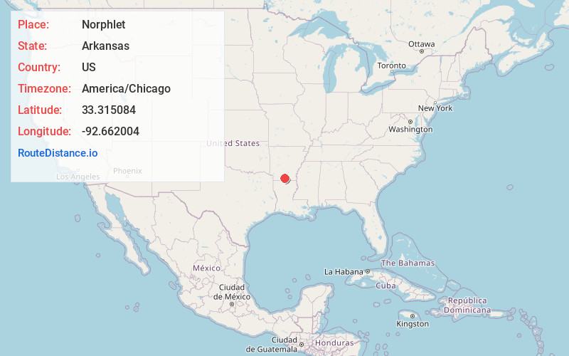
Full AddressNorphlet, AR
-
Coordinates33.3150843, -92.6620043
-
LocationNorphlet , Arkansas , US
-
TimezoneAmerica/Chicago
-
Current Local Time9:33:15 AM America/ChicagoMonday, June 23, 2025
-
Page Views0
About Norphlet
Norphlet is a city in Union County, Arkansas, United States. As of the 2010 census the population stood at 844.
Nearby Places
Found 10 places within 50 miles

Smackover
5.0 mi
8.0 km
Smackover, AR 71762
Get directions

El Dorado
7.4 mi
11.9 km
El Dorado, AR 71730
Get directions

Hampton
19.0 mi
30.6 km
Hampton, AR 71744
Get directions

East Camden
20.8 mi
33.5 km
East Camden, AR 71701
Get directions

Camden
21.0 mi
33.8 km
Camden, AR 71701
Get directions
Stephens
24.5 mi
39.4 km
Stephens, AR 71764
Get directions

Bearden
28.4 mi
45.7 km
Bearden, AR 71720
Get directions

Magnolia
33.5 mi
53.9 km
Magnolia, AR 71753
Get directions
Bernice
34.1 mi
54.9 km
Bernice, LA 71222
Get directions

Waldo
36.7 mi
59.1 km
Waldo, AR 71770
Get directions
Location Links
Local Weather
Weather Information
Coming soon!
Location Map
Static map view of Norphlet, Arkansas
Browse Places by Distance
Places within specific distances from Norphlet
Short Distances
Long Distances
Click any distance to see all places within that range from Norphlet. Distances shown in miles (1 mile ≈ 1.61 kilometers).