Distance to McGonigle, Ohio

Calculating Your Route
Just a moment while we process your request...
Location Information
-
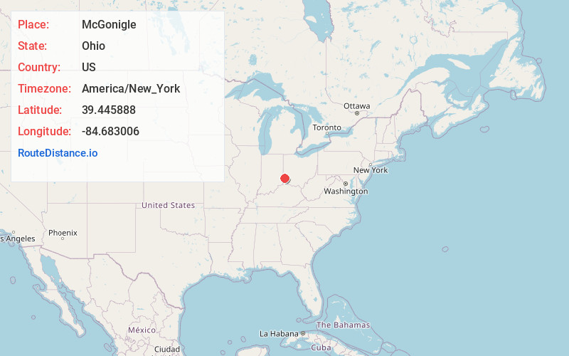
Full AddressMcGonigle, Hanover Township, OH 45013
-
Coordinates39.4458878, -84.6830061
-
LocationHanover Township , Ohio , US
-
TimezoneAmerica/New_York
-
Current Local Time3:39:33 AM America/New_YorkWednesday, May 21, 2025
-
Page Views0
About McGonigle
McGonigle is an unincorporated community in northwestern Hanover Township, Butler County, Ohio, United States about seven miles northwest of Hamilton at the intersection of U.S. Route 27 and State Route 130 in sections 17 and 18 of R2ET4N of the Congress Lands.
Nearby Places
Found 10 places within 50 miles

Darrtown
3.6 mi
5.8 km
Darrtown, OH 45056
Get directions
Reily Township
3.9 mi
6.3 km
Reily Township, OH
Get directions
Millville
4.2 mi
6.8 km
Millville, OH 45013
Get directions
Queen Acres
4.2 mi
6.8 km
Queen Acres, Hanover Township, OH 45013
Get directions
St Charles
4.9 mi
7.9 km
St Charles, Reily Township, OH 45013
Get directions

Oxford
5.4 mi
8.7 km
Oxford, OH 45056
Get directions
Layhigh
5.8 mi
9.3 km
Layhigh, Ross Township, OH 45013
Get directions
Newkirk
6.2 mi
10.0 km
Newkirk, Reily Township, OH 45056
Get directions
Seven Mile
7.4 mi
11.9 km
Seven Mile, OH
Get directions

Hamilton
7.4 mi
11.9 km
Hamilton, OH
Get directions
Location Links
Local Weather
Weather Information
Coming soon!
Location Map
Static map view of McGonigle, Ohio
Browse Places by Distance
Places within specific distances from McGonigle
Short Distances
Long Distances
Click any distance to see all places within that range from McGonigle. Distances shown in miles (1 mile ≈ 1.61 kilometers).