Distance to McGregor, Iowa

Calculating Your Route
Just a moment while we process your request...
Location Information
-
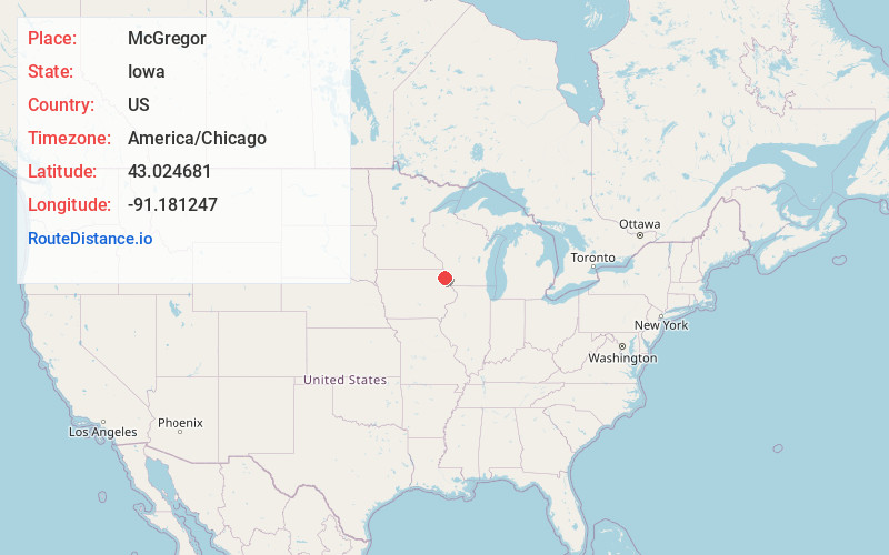
Full AddressMcGregor, IA 52157
-
Coordinates43.0246813, -91.1812468
-
LocationMcGregor , Iowa , US
-
TimezoneAmerica/Chicago
-
Current Local Time8:33:18 AM America/ChicagoWednesday, May 21, 2025
-
Page Views0
About McGregor
McGregor is a city in Clayton County, Iowa, United States. The population was 742 at the time of the 2020 census. McGregor is located on the Mississippi River across from Prairie du Chien, Wisconsin. Pike's Peak State Park is located just south of the city. Just to the north of McGregor is the city of Marquette.


Nearby Places
Found 10 places within 50 miles

Prairie du Chien
2.7 mi
4.3 km
Prairie du Chien, WI 53821
Get directions

Monona
10.7 mi
17.2 km
Monona, IA 52159
Get directions

Garnavillo
11.1 mi
17.9 km
Garnavillo, IA 52049
Get directions

Wauzeka
15.6 mi
25.1 km
Wauzeka, WI 53826
Get directions

Bloomington
16.2 mi
26.1 km
Bloomington, WI 53804
Get directions

Elkader
16.4 mi
26.4 km
Elkader, IA 52043
Get directions

Guttenberg
16.7 mi
26.9 km
Guttenberg, IA 52052
Get directions

Postville
20.0 mi
32.2 km
Postville, IA 52162
Get directions

Waukon
22.5 mi
36.2 km
Waukon, IA 52172
Get directions
Elgin
23.2 mi
37.3 km
Elgin, IA 52141
Get directions
Location Links
Local Weather
Weather Information
Coming soon!
Location Map
Static map view of McGregor, Iowa
Browse Places by Distance
Places within specific distances from McGregor
Short Distances
Long Distances
Click any distance to see all places within that range from McGregor. Distances shown in miles (1 mile ≈ 1.61 kilometers).