Distance to McGuffey, Ohio

Calculating Your Route
Just a moment while we process your request...
Location Information
-
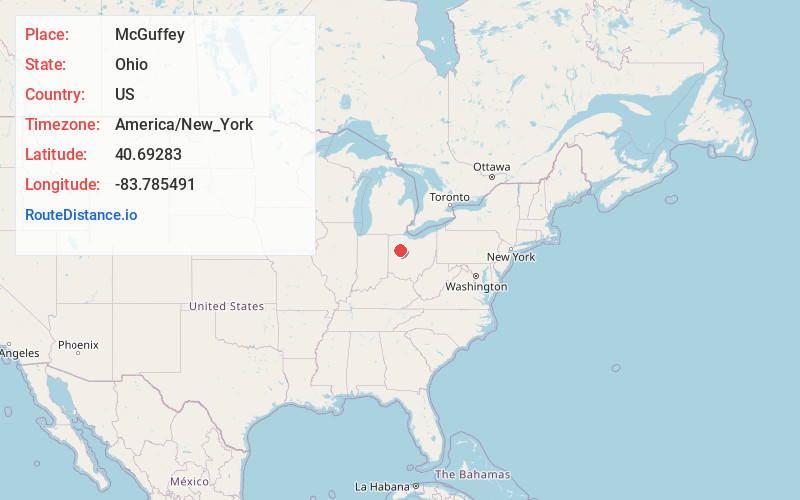
Full AddressMcGuffey, OH
-
Coordinates40.69283, -83.7854909
-
LocationMcGuffey , Ohio , US
-
TimezoneAmerica/New_York
-
Current Local Time5:08:33 PM America/New_YorkSaturday, June 28, 2025
-
Page Views0
About McGuffey
McGuffey is a village in Hardin County, Ohio, United States. The population was 466 at the 2020 census.

Nearby Places
Found 10 places within 50 miles

Alger
3.2 mi
5.1 km
Alger, OH 45812
Get directions

Ada
5.6 mi
9.0 km
Ada, OH 45810
Get directions
Harrod
7.2 mi
11.6 km
Harrod, OH 45850
Get directions
Dunkirk
9.7 mi
15.6 km
Dunkirk, OH 45836
Get directions

Kenton
9.7 mi
15.6 km
Kenton, OH 43326
Get directions
Westminster
10.2 mi
16.4 km
Westminster, OH
Get directions
Waynesfield
11.8 mi
19.0 km
Waynesfield, OH 45896
Get directions

New Hampshire
12.9 mi
20.8 km
New Hampshire, OH
Get directions

Belle Center
13.0 mi
20.9 km
Belle Center, OH 43310
Get directions
Chippewa Park
13.4 mi
21.6 km
Chippewa Park, OH 43331
Get directions
Location Links
Local Weather
Weather Information
Coming soon!
Location Map
Static map view of McGuffey, Ohio
Browse Places by Distance
Places within specific distances from McGuffey
Short Distances
Long Distances
Click any distance to see all places within that range from McGuffey. Distances shown in miles (1 mile ≈ 1.61 kilometers).