Distance to Mcindoe Falls, Vermont

Calculating Your Route
Just a moment while we process your request...
Location Information
-
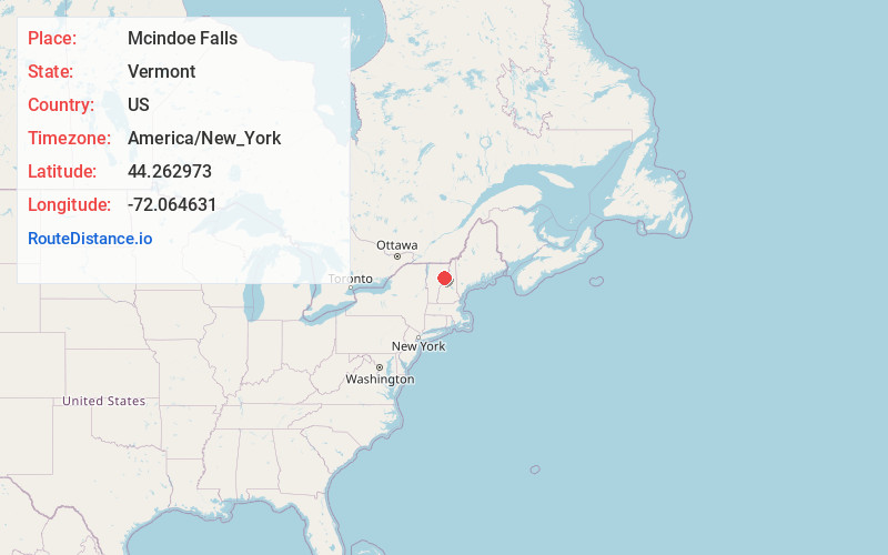
Full AddressMcindoe Falls, Barnet, VT
-
Coordinates44.2629729, -72.0646307
-
NeighborhoodMcIndoe Falls
-
LocationBarnet , Vermont , US
-
TimezoneAmerica/New_York
-
Current Local Time1:29:06 AM America/New_YorkThursday, May 29, 2025
-
Page Views1
About Mcindoe Falls
McIndoe Falls is an unincorporated community within the town of Barnet, Vermont, in the United States. It is located in the southeastern corner of Barnet, along the Connecticut River, the state boundary with New Hampshire.
Nearby Places
Found 10 places within 50 miles

Barnet
2.5 mi
4.0 km
Barnet, VT
Get directions
Monroe
3.0 mi
4.8 km
Monroe, NH
Get directions

Ryegate
3.0 mi
4.8 km
Ryegate, VT
Get directions
Lyman
5.8 mi
9.3 km
Lyman, NH
Get directions

Peacham
6.9 mi
11.1 km
Peacham, VT
Get directions

Groton
7.4 mi
11.9 km
Groton, VT
Get directions

Bath
8.2 mi
13.2 km
Bath, NH
Get directions

Lisbon
8.3 mi
13.4 km
Lisbon, NH
Get directions

Newbury
9.9 mi
15.9 km
Newbury, VT
Get directions

Landaff
10.7 mi
17.2 km
Landaff, NH
Get directions
Location Links
Local Weather
Weather Information
Coming soon!
Location Map
Static map view of Mcindoe Falls, Vermont
Browse Places by Distance
Places within specific distances from Mcindoe Falls
Short Distances
Long Distances
Click any distance to see all places within that range from Mcindoe Falls. Distances shown in miles (1 mile ≈ 1.61 kilometers).