Distance to Mckeefrey, West Virginia

Calculating Your Route
Just a moment while we process your request...
Location Information
-
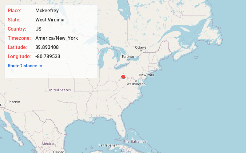
Full AddressMckeefrey, WV 26041
-
Coordinates39.893408, -80.7895326
-
LocationWest Virginia , US
-
TimezoneAmerica/New_York
-
Current Local Time5:26:16 AM America/New_YorkSaturday, June 14, 2025
-
Page Views0
About Mckeefrey
McKeefrey is an unincorporated community in Marshall County, West Virginia, United States. It was also known as Round Bottom and Chestnut Hill.
The community was named after one Mr. Keefrey, the proprietor of a local mine.
Nearby Places
Found 10 places within 50 miles

Round Bottom
1.4 mi
2.3 km
Round Bottom, West Virginia 26041
Get directions

Powhatan Point
2.7 mi
4.3 km
Powhatan Point, OH 43942
Get directions
Steinersville
2.8 mi
4.5 km
Steinersville, York Township, OH 43942
Get directions
Vadis
2.9 mi
4.7 km
Vadis, Mead Township, OH 43933
Get directions

Moundsville
3.1 mi
5.0 km
Moundsville, WV 26041
Get directions

Glen Dale
4.2 mi
6.8 km
Glen Dale, WV 26038
Get directions
Glendale Heights
5.2 mi
8.4 km
Glendale Heights, WV 26038
Get directions
Graysville
5.3 mi
8.5 km
Graysville, WV 26041
Get directions

Shadyside
5.7 mi
9.2 km
Shadyside, OH 43947
Get directions
Key
7.1 mi
11.4 km
Key, Mead Township, OH 43933
Get directions
Location Links
Local Weather
Weather Information
Coming soon!
Location Map
Static map view of Mckeefrey, West Virginia
Browse Places by Distance
Places within specific distances from Mckeefrey
Short Distances
Long Distances
Click any distance to see all places within that range from Mckeefrey. Distances shown in miles (1 mile ≈ 1.61 kilometers).