Distance to McKinley, Minnesota

Calculating Your Route
Just a moment while we process your request...
Location Information
-
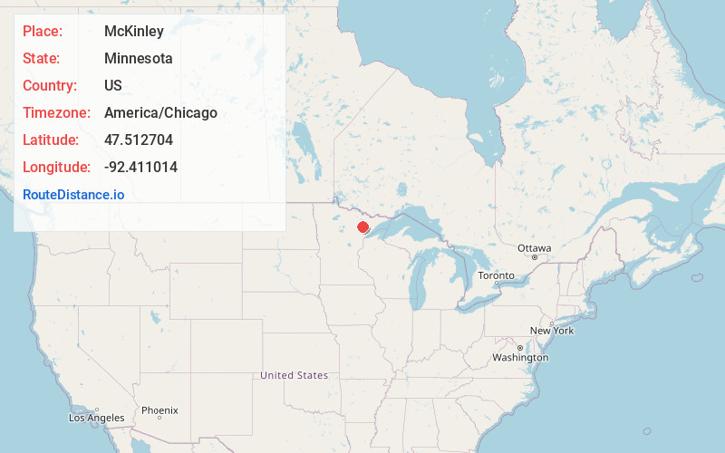
Full AddressMcKinley, MN 55741
-
Coordinates47.5127038, -92.4110144
-
LocationMcKinley , Minnesota , US
-
TimezoneAmerica/Chicago
-
Current Local Time10:02:32 PM America/ChicagoSaturday, June 7, 2025
-
Page Views0
About McKinley
McKinley is a city in Saint Louis County, Minnesota, United States; located within the Iron Range region of Minnesota. The population was 103 at the 2020 census.
State Highway 135, Saint Louis County Road 20, and Main Street are three of the main routes in McKinley.
Nearby Places
Found 10 places within 50 miles

Gilbert
3.0 mi
4.8 km
Gilbert, MN
Get directions

Biwabik
3.6 mi
5.8 km
Biwabik, MN
Get directions

Virginia
5.9 mi
9.5 km
Virginia, MN
Get directions

Eveleth
6.9 mi
11.1 km
Eveleth, MN 55734
Get directions

Aurora
8.2 mi
13.2 km
Aurora, MN
Get directions

Mountain Iron
10.0 mi
16.1 km
Mountain Iron, MN
Get directions

Hoyt Lakes
12.7 mi
20.4 km
Hoyt Lakes, MN
Get directions

Kinney
14.9 mi
24.0 km
Kinney, MN
Get directions

Buhl
17.2 mi
27.7 km
Buhl, MN
Get directions

Tower
21.2 mi
34.1 km
Tower, MN 55790
Get directions
Location Links
Local Weather
Weather Information
Coming soon!
Location Map
Static map view of McKinley, Minnesota
Browse Places by Distance
Places within specific distances from McKinley
Short Distances
Long Distances
Click any distance to see all places within that range from McKinley. Distances shown in miles (1 mile ≈ 1.61 kilometers).