Distance to McLeod, Oregon

Calculating Your Route
Just a moment while we process your request...
Location Information
-
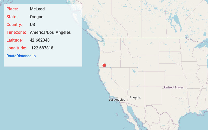
Full AddressMcLeod, OR 97541
-
Coordinates42.6623483, -122.6878179
-
LocationMcLeod , Oregon , US
-
TimezoneAmerica/Los_Angeles
-
Current Local Time8:38:23 PM America/Los_AngelesThursday, June 19, 2025
-
Page Views0
About McLeod
McLeod is an unincorporated community in Jackson County, Oregon, United States. It lies at the confluence of Big Butte Creek with the Rogue River just downstream of Lost Creek Lake. It is along Oregon Route 62 between Shady Cove and Prospect. The community was named after its 1910 settler William R. McLeod.
Nearby Places
Found 10 places within 50 miles

Trail
6.3 mi
10.1 km
Trail, OR
Get directions

Shady Cove
7.1 mi
11.4 km
Shady Cove, OR 97539
Get directions

Elk Creek
7.8 mi
12.6 km
Elk Creek, Oregon
Get directions

Butte Falls
10.3 mi
16.6 km
Butte Falls, OR
Get directions

Prospect
11.9 mi
19.2 km
Prospect, OR 97536
Get directions

Brownsboro
13.5 mi
21.7 km
Brownsboro, OR 97524
Get directions

Eagle Point
14.4 mi
23.2 km
Eagle Point, OR 97524
Get directions

Lakecreek
16.9 mi
27.2 km
Lakecreek, OR 97524
Get directions

White City
17.6 mi
28.3 km
White City, OR
Get directions
Drew
18.6 mi
29.9 km
Drew, OR 97484
Get directions
Location Links
Local Weather
Weather Information
Coming soon!
Location Map
Static map view of McLeod, Oregon
Browse Places by Distance
Places within specific distances from McLeod
Short Distances
Long Distances
Click any distance to see all places within that range from McLeod. Distances shown in miles (1 mile ≈ 1.61 kilometers).