Distance to McNab, Arkansas

Calculating Your Route
Just a moment while we process your request...
Location Information
-
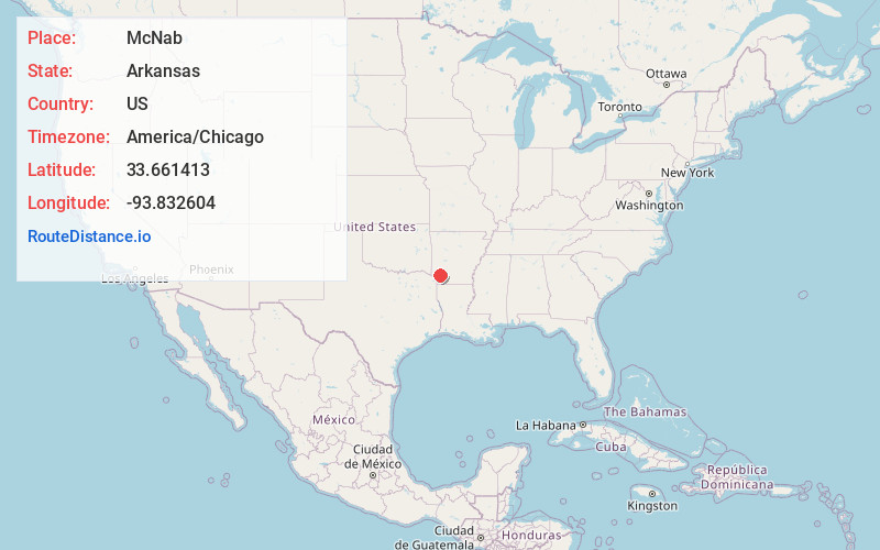
Full AddressMcNab, AR 71838
-
Coordinates33.6614126, -93.8326043
-
LocationMcNab , Arkansas , US
-
TimezoneAmerica/Chicago
-
Current Local Time11:05:05 AM America/ChicagoThursday, June 19, 2025
-
Page Views0
About McNab
McNab is a town in Hempstead County, Arkansas, United States. The population was 68 at the 2010 census, up from 37 in 2000. It is part of the Hope Micropolitan Statistical Area.
Nearby Places
Found 10 places within 50 miles

Fulton
3.4 mi
5.5 km
Fulton, AR 71838
Get directions

Tollette
11.4 mi
18.3 km
Tollette, AR 71851
Get directions

Yarborough Landing
11.4 mi
18.3 km
Yarborough Landing, AR 71822
Get directions

Washington
11.6 mi
18.7 km
Washington, AR 71862
Get directions
Ogden
13.5 mi
21.7 km
Ogden, AR
Get directions

Hope
13.6 mi
21.9 km
Hope, AR 71801
Get directions

Mineral Springs
15.5 mi
24.9 km
Mineral Springs, AR 71851
Get directions

Ashdown
17.2 mi
27.7 km
Ashdown, AR 71822
Get directions
Perrytown
17.7 mi
28.5 km
Perrytown, AR 71801
Get directions
Wilton
19.0 mi
30.6 km
Wilton, AR
Get directions
Location Links
Local Weather
Weather Information
Coming soon!
Location Map
Static map view of McNab, Arkansas
Browse Places by Distance
Places within specific distances from McNab
Short Distances
Long Distances
Click any distance to see all places within that range from McNab. Distances shown in miles (1 mile ≈ 1.61 kilometers).