Distance to McNett Township, Pennsylvania

Calculating Your Route
Just a moment while we process your request...
Location Information
-
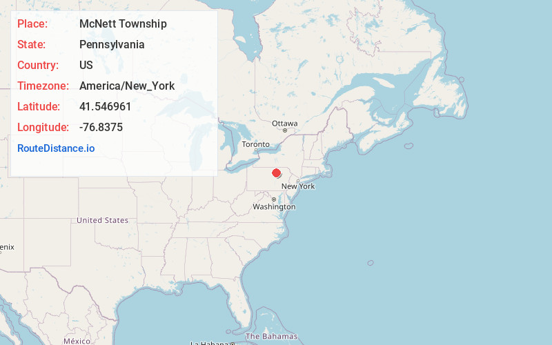
Full AddressMcNett Township, PA
-
Coordinates41.5469614, -76.8374995
-
LocationMcNett Township , Pennsylvania , US
-
TimezoneAmerica/New_York
-
Current Local Time2:20:16 PM America/New_YorkTuesday, July 1, 2025
-
Page Views0
About McNett Township
McNett Township is a township in Lycoming County, Pennsylvania, United States. The population was 145 at the 2020 census, down from 174 in 2010. It is part of the Williamsport Metropolitan Statistical Area.
Nearby Places
Found 10 places within 50 miles

Ellenton
1.8 mi
2.9 km
Ellenton, McNett Township, PA 17724
Get directions
Masten
2.9 mi
4.7 km
Masten, PA 17724
Get directions
Chemung
3.0 mi
4.8 km
Chemung, McNett Township, PA 17765
Get directions
Maple Summit
3.3 mi
5.3 km
Maple Summit, Fox Township, PA 17768
Get directions
Wheelerville
3.3 mi
5.3 km
Wheelerville, PA 17768
Get directions
Leolyn
3.7 mi
6.0 km
Leolyn, PA 17765
Get directions
Penbryn
4.0 mi
6.4 km
Penbryn, Union Township, PA 17765
Get directions
Newelltown
4.6 mi
7.4 km
Newelltown, Union Township, PA 17765
Get directions
Spencertown
5.9 mi
9.5 km
Spencertown, Union Township, PA 17724
Get directions
Beech Flats
6.1 mi
9.8 km
Beech Flats, PA 17724
Get directions
Location Links
Local Weather
Weather Information
Coming soon!
Location Map
Static map view of McNett Township, Pennsylvania
Browse Places by Distance
Places within specific distances from McNett Township
Short Distances
Long Distances
Click any distance to see all places within that range from McNett Township. Distances shown in miles (1 mile ≈ 1.61 kilometers).