Distance to Meade, Ohio

Calculating Your Route
Just a moment while we process your request...
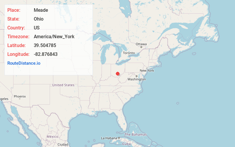
Location Information
-
Full AddressMeade, Pickaway Township, OH 45644
-
Coordinates39.5047846, -82.8768429
-
LocationPickaway Township , Ohio , US
-
TimezoneAmerica/New_York
-
Current Local Time10:42:23 PM America/New_YorkFriday, June 27, 2025
-
Page Views0
About Meade
Meade or Mutton Jerk or Salem is an unincorporated community in Pickaway Township, Pickaway County, Ohio, United States.
Meade is located at the intersection of State Route 159 and Hayesville Rd. Its population is 79. Its children attend school in the Logan Elm Local School District.
Nearby Places
Found 10 places within 50 miles

Leistville
2.7 mi
4.3 km
Leistville, Saltcreek Township, OH 43113
Get directions
Kingston
2.8 mi
4.5 km
Kingston, OH 45644
Get directions
Thacher
4.1 mi
6.6 km
Thacher, Pickaway Township, OH 43113
Get directions
Hallsville
5.0 mi
8.0 km
Hallsville, OH 45644
Get directions
Logan Elm Village
6.0 mi
9.7 km
Logan Elm Village, OH 43113
Get directions
Tarlton
6.4 mi
10.3 km
Tarlton, OH
Get directions
Yellowbud
7.1 mi
11.4 km
Yellowbud, OH 45601
Get directions
Stoutsville
7.4 mi
11.9 km
Stoutsville, OH 43154
Get directions
Adelphi
7.4 mi
11.9 km
Adelphi, OH
Get directions

Circleville
7.6 mi
12.2 km
Circleville, OH 43113
Get directions
Location Links
Local Weather
Weather Information
Coming soon!
Location Map
Static map view of Meade, Ohio
Browse Places by Distance
Places within specific distances from Meade
Short Distances
Long Distances
Click any distance to see all places within that range from Meade. Distances shown in miles (1 mile ≈ 1.61 kilometers).