Distance to Yellowbud, Ohio

Calculating Your Route
Just a moment while we process your request...
Location Information
-
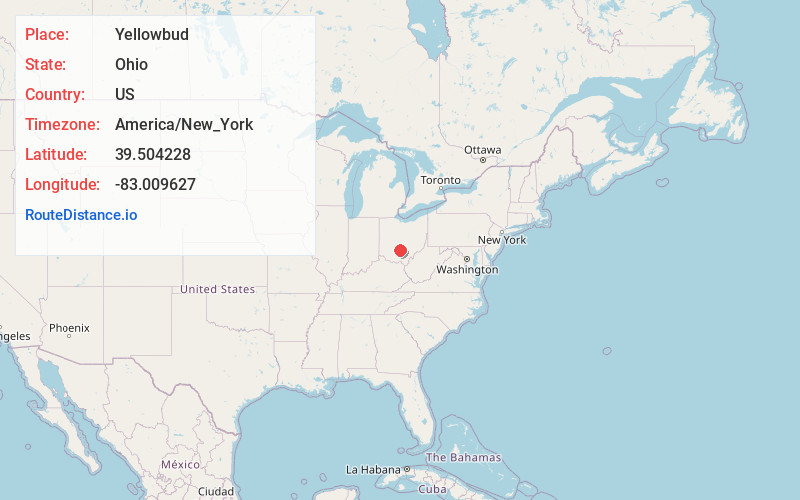
Full AddressYellowbud, OH 45601
-
Coordinates39.5042283, -83.0096271
-
LocationYellowbud , Ohio , US
-
TimezoneAmerica/New_York
-
Current Local Time6:30:08 AM America/New_YorkThursday, June 12, 2025
-
Page Views0
About Yellowbud
Yellowbud is an unincorporated community in Ross County, in the U.S. state of Ohio.
Nearby Places
Found 10 places within 50 miles

Logan Elm Village
5.5 mi
8.9 km
Logan Elm Village, OH 43113
Get directions
Kingston
5.7 mi
9.2 km
Kingston, OH 45644
Get directions

Circleville
7.5 mi
12.1 km
Circleville, OH 43113
Get directions
Clarksburg
7.7 mi
12.4 km
Clarksburg, OH 43115
Get directions
Metzger
8.2 mi
13.2 km
Metzger, Green Township, OH 45601
Get directions

Williamsport
8.2 mi
13.2 km
Williamsport, OH 43164
Get directions
Hopetown
8.9 mi
14.3 km
Hopetown, OH 45601
Get directions
Anderson
10.4 mi
16.7 km
Anderson, OH 45601
Get directions

Frankfort
11.6 mi
18.7 km
Frankfort, OH 45628
Get directions
Stoutsville
11.9 mi
19.2 km
Stoutsville, OH 43154
Get directions
Location Links
Local Weather
Weather Information
Coming soon!
Location Map
Static map view of Yellowbud, Ohio
Browse Places by Distance
Places within specific distances from Yellowbud
Short Distances
Long Distances
Click any distance to see all places within that range from Yellowbud. Distances shown in miles (1 mile ≈ 1.61 kilometers).