Distance to Hopetown, Ohio

Calculating Your Route
Just a moment while we process your request...
Location Information
-
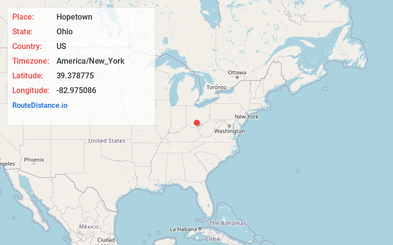
Full AddressHopetown, OH 45601
-
Coordinates39.3787752, -82.9750855
-
LocationHopetown , Ohio , US
-
TimezoneAmerica/New_York
-
Current Local Time5:56:33 AM America/New_YorkWednesday, June 18, 2025
-
Page Views0
Nearby Places
Found 10 places within 50 miles

Chillicothe
3.2 mi
5.1 km
Chillicothe, OH 45601
Get directions

Anderson
5.2 mi
8.4 km
Anderson, OH 45601
Get directions
Kingston
7.4 mi
11.9 km
Kingston, OH 45644
Get directions
Mooresville
7.5 mi
12.1 km
Mooresville, Harrison Township, OH 45601
Get directions
Three Locks
9.4 mi
15.1 km
Three Locks, Franklin Township, OH 45601
Get directions

Frankfort
11.1 mi
17.9 km
Frankfort, OH 45628
Get directions
Bourneville
11.8 mi
19.0 km
Bourneville, OH
Get directions
Lattaville
12.5 mi
20.1 km
Lattaville, OH 45628
Get directions
Londonderry
12.5 mi
20.1 km
Londonderry, OH 45647
Get directions
Clarksburg
12.9 mi
20.8 km
Clarksburg, OH 43115
Get directions
Location Links
Local Weather
Weather Information
Coming soon!
Location Map
Static map view of Hopetown, Ohio
Browse Places by Distance
Places within specific distances from Hopetown
Short Distances
Long Distances
Click any distance to see all places within that range from Hopetown. Distances shown in miles (1 mile ≈ 1.61 kilometers).