Distance to Londonderry, Ohio

Calculating Your Route
Just a moment while we process your request...
Location Information
-
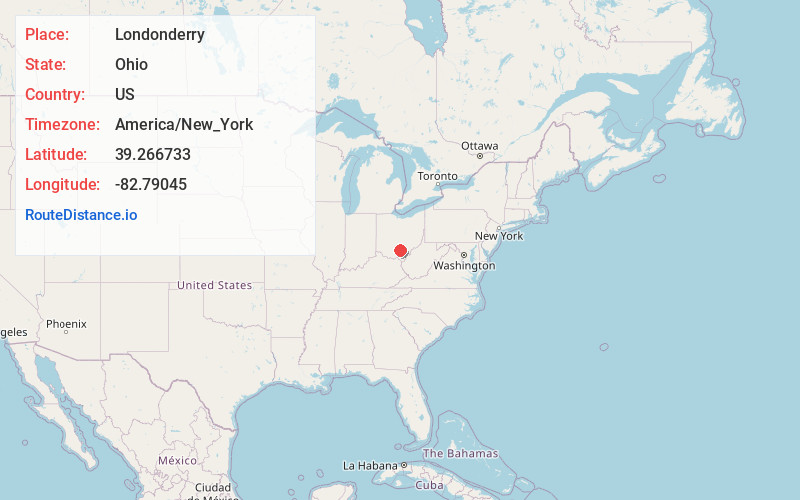
Full AddressLondonderry, OH 45647
-
Coordinates39.2667332, -82.7904498
-
LocationLondonderry , Ohio , US
-
TimezoneAmerica/New_York
-
Current Local Time2:39:52 PM America/New_YorkTuesday, July 1, 2025
-
Page Views0
About Londonderry
Londonderry is an unincorporated community in eastern Liberty Township, Ross County, Ohio, United States. It has a post office with the ZIP code 45647. It lies along U.S. Route 50 at its intersection with State Route 327.
Nearby Places
Found 10 places within 50 miles

Richmond Dale
4.6 mi
7.4 km
Richmond Dale, OH
Get directions

Chillicothe
11.2 mi
18.0 km
Chillicothe, OH 45601
Get directions
Adelphi
14.0 mi
22.5 km
Adelphi, OH
Get directions

Waverly
14.2 mi
22.9 km
Waverly, OH 45690
Get directions

Coalton
14.3 mi
23.0 km
Coalton, OH
Get directions

Laurelville
14.5 mi
23.3 km
Laurelville, OH 43135
Get directions
Kingston
15.7 mi
25.3 km
Kingston, OH 45644
Get directions

Hamden
15.9 mi
25.6 km
Hamden, OH 45634
Get directions
Anderson
16.3 mi
26.2 km
Anderson, OH 45601
Get directions

Beaver
16.4 mi
26.4 km
Beaver, OH 45613
Get directions
Location Links
Local Weather
Weather Information
Coming soon!
Location Map
Static map view of Londonderry, Ohio
Browse Places by Distance
Places within specific distances from Londonderry
Short Distances
Long Distances
Click any distance to see all places within that range from Londonderry. Distances shown in miles (1 mile ≈ 1.61 kilometers).