Distance to Mehama, Oregon

Calculating Your Route
Just a moment while we process your request...
Location Information
-
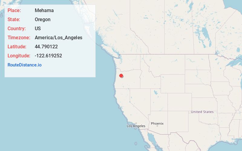
Full AddressMehama, OR
-
Coordinates44.7901219, -122.6192523
-
LocationMehama , Oregon , US
-
TimezoneAmerica/Los_Angeles
-
Current Local Time3:59:09 AM America/Los_AngelesSaturday, June 14, 2025
-
Page Views0
About Mehama
Mehama is an unincorporated community in Marion County, Oregon, United States, located on Oregon Route 22 and the North Santiam River. For statistical purposes, the United States Census Bureau has defined Mehama as a census-designated place.
Nearby Places
Found 10 places within 50 miles

Lyons
1.1 mi
1.8 km
Lyons, OR 97358
Get directions

Mill City
7.4 mi
11.9 km
Mill City, OR
Get directions

Stayton
8.6 mi
13.8 km
Stayton, OR
Get directions

Sublimity
9.0 mi
14.5 km
Sublimity, OR 97385
Get directions

Scio
12.7 mi
20.4 km
Scio, OR 97374
Get directions

Aumsville
12.8 mi
20.6 km
Aumsville, OR
Get directions

Lacomb
15.4 mi
24.8 km
Lacomb, OR 97355
Get directions

Turner
16.8 mi
27.0 km
Turner, OR 97392
Get directions

Silverton
16.9 mi
27.2 km
Silverton, OR 97381
Get directions

Bethany
18.2 mi
29.3 km
Bethany, OR 97381
Get directions
Location Links
Local Weather
Weather Information
Coming soon!
Location Map
Static map view of Mehama, Oregon
Browse Places by Distance
Places within specific distances from Mehama
Short Distances
Long Distances
Click any distance to see all places within that range from Mehama. Distances shown in miles (1 mile ≈ 1.61 kilometers).