Distance to Melrude, Minnesota

Calculating Your Route
Just a moment while we process your request...
Location Information
-
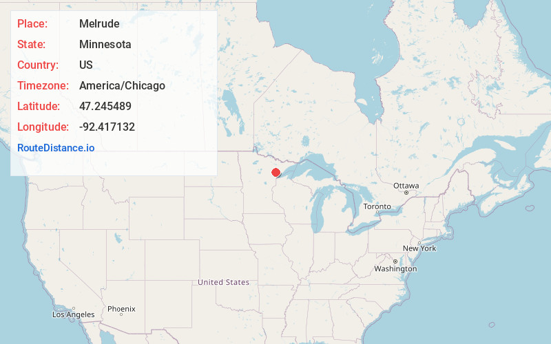
Full AddressMelrude, MN 55724
-
Coordinates47.2454885, -92.4171319
-
LocationMelrude , Minnesota , US
-
TimezoneAmerica/Chicago
-
Current Local Time1:37:56 PM America/ChicagoFriday, May 30, 2025
-
Page Views0
About Melrude
Melrude is an unincorporated community in Ellsburg Township, Saint Louis County, Minnesota, United States.
The community is located eight miles northeast of Cotton at the intersection of Saint Louis County Road 59 and County Road 322.
Paleface Creek flows through the community, and the Paleface River is nearby.

Nearby Places
Found 10 places within 50 miles

Zim
9.7 mi
15.6 km
Zim, MN 55738
Get directions

Whiteface Reservoir
12.5 mi
20.1 km
Whiteface Reservoir, MN
Get directions

Ramshaw
14.7 mi
23.7 km
Ramshaw, MN 55751
Get directions
Iron Junction
14.8 mi
23.8 km
Iron Junction, MN 55751
Get directions

Eveleth
16.1 mi
25.9 km
Eveleth, MN 55734
Get directions
Leonidas
16.6 mi
26.7 km
Leonidas, MN 55734
Get directions

Gilbert
17.0 mi
27.4 km
Gilbert, MN
Get directions

Cherry
17.3 mi
27.8 km
Cherry, MN 55751
Get directions
McKinley
18.5 mi
29.8 km
McKinley, MN 55741
Get directions

Meadowlands
19.1 mi
30.7 km
Meadowlands, MN 55765
Get directions
Location Links
Local Weather
Weather Information
Coming soon!
Location Map
Static map view of Melrude, Minnesota
Browse Places by Distance
Places within specific distances from Melrude
Short Distances
Long Distances
Click any distance to see all places within that range from Melrude. Distances shown in miles (1 mile ≈ 1.61 kilometers).