Distance to Mendota, Virginia

Calculating Your Route
Just a moment while we process your request...
Location Information
-
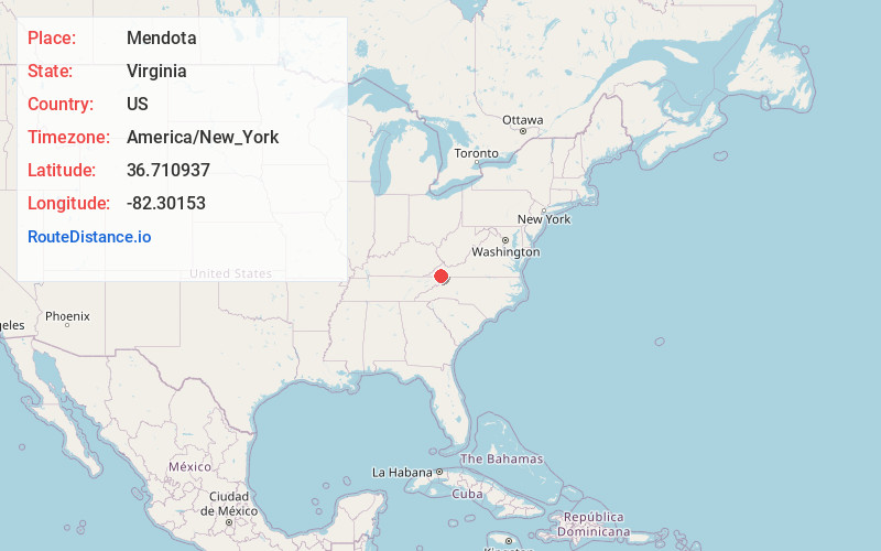
Full AddressMendota, VA
-
Coordinates36.7109367, -82.3015299
-
LocationMendota , Virginia , US
-
TimezoneAmerica/New_York
-
Current Local Time4:25:09 AM America/New_YorkWednesday, June 4, 2025
-
Page Views0
About Mendota
Mendota is an unincorporated village and census-designated place in Washington County in the southwestern part of the U.S. state of Virginia, at an elevation of approximately 1411 feet. It was first listed as a CDP in the 2020 census with a population of 135.

Nearby Places
Found 10 places within 50 miles

Nickelsville
6.9 mi
11.1 km
Nickelsville, VA 24271
Get directions

Hiltons
10.0 mi
16.1 km
Hiltons, VA
Get directions

Bristol
10.0 mi
16.1 km
Bristol, VA
Get directions

Walnut Hill
10.1 mi
16.3 km
Walnut Hill, TN 37620
Get directions

Bristol
10.2 mi
16.4 km
Bristol, TN
Get directions

Dungannon
12.2 mi
19.6 km
Dungannon, VA 24245
Get directions

Blountville
12.4 mi
20.0 km
Blountville, TN 37617
Get directions

Castlewood
12.4 mi
20.0 km
Castlewood, VA 24224
Get directions

St Paul
13.5 mi
21.7 km
St Paul, VA
Get directions

Bloomingdale
13.6 mi
21.9 km
Bloomingdale, TN 37660
Get directions
Location Links
Local Weather
Weather Information
Coming soon!
Location Map
Static map view of Mendota, Virginia
Browse Places by Distance
Places within specific distances from Mendota
Short Distances
Long Distances
Click any distance to see all places within that range from Mendota. Distances shown in miles (1 mile ≈ 1.61 kilometers).