Distance to Mercer County, Ohio

Calculating Your Route
Just a moment while we process your request...
Location Information
-
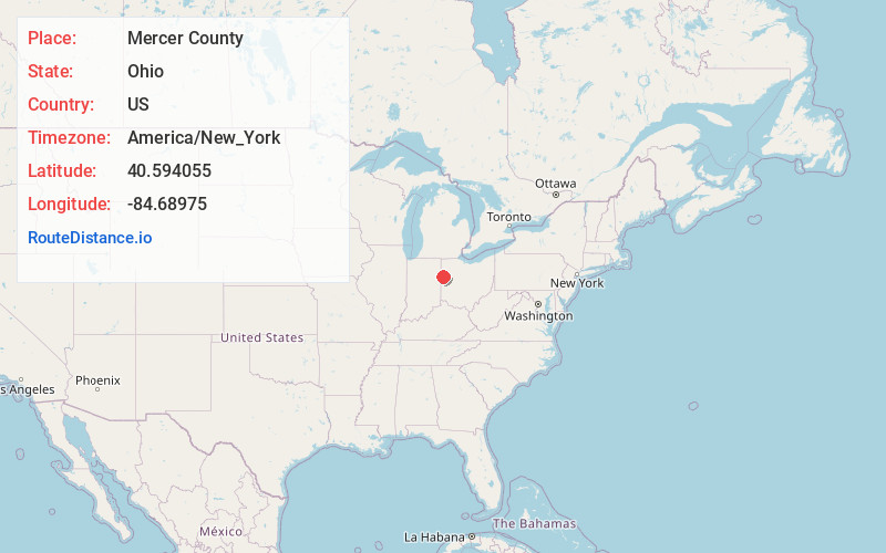
Full AddressMercer County, OH
-
Coordinates40.5940548, -84.6897495
-
LocationOhio , US
-
TimezoneAmerica/New_York
-
Current Local Time7:41:29 PM America/New_YorkWednesday, July 2, 2025
-
Page Views0
About Mercer County
Mercer County is located in the U.S. state of Ohio. As of the 2020 census, the population was 42,528. Its county seat is Celina. The county was created in 1820 and later organized in 1824. It is named for Hugh Mercer, an officer in the American Revolutionary War.


Nearby Places
Found 10 places within 50 miles

Hinton
1.6 mi
2.6 km
Hinton, Liberty Township, OH 45822
Get directions
Bursville
3.0 mi
4.8 km
Bursville, OH 45822
Get directions
Scudder
3.3 mi
5.3 km
Scudder, Liberty Township, OH 45822
Get directions
Tama
4.6 mi
7.4 km
Tama, Hopewell Township, OH 45822
Get directions
Wabash
4.6 mi
7.4 km
Wabash, Washington Township, OH 45822
Get directions
Skeels Crossroads
5.2 mi
8.4 km
Skeels Crossroads, Liberty Township, OH 45822
Get directions
Chattanooga
5.8 mi
9.3 km
Chattanooga, Liberty Township, OH 45882
Get directions
Erastus
6.0 mi
9.7 km
Erastus, Washington Township, OH 45828
Get directions
Rockford
6.9 mi
11.1 km
Rockford, OH 45882
Get directions

Celina
7.0 mi
11.3 km
Celina, OH 45822
Get directions
Location Links
Local Weather
Weather Information
Coming soon!
Location Map
Static map view of Mercer County, Ohio
Browse Places by Distance
Places within specific distances from Mercer County
Short Distances
Long Distances
Click any distance to see all places within that range from Mercer County. Distances shown in miles (1 mile ≈ 1.61 kilometers).