Distance to Mercer County, New Jersey

Calculating Your Route
Just a moment while we process your request...
Location Information
-
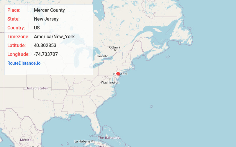
Full AddressMercer County, NJ
-
Coordinates40.3028533, -74.7337069
-
LocationNew Jersey , US
-
TimezoneAmerica/New_York
-
Current Local Time4:53:49 PM America/New_YorkWednesday, June 4, 2025
-
Page Views0
About Mercer County
Mercer County is a county located in the U.S. state of New Jersey. Its county seat is Trenton, also the state capital, prompting its nickname The Capital County.


Nearby Places
Found 10 places within 50 miles

Lewisville
1.1 mi
1.8 km
Lewisville, Lawrence Township, NJ 08648
Get directions
Princessville
1.5 mi
2.4 km
Princessville, Lawrence Township, NJ 08648
Get directions
West Village
1.6 mi
2.6 km
West Village, Lawrence Township, NJ 08648
Get directions

Lawrence Township
2.1 mi
3.4 km
Lawrence Township, NJ
Get directions
Sturwood Hamlet
2.1 mi
3.4 km
Sturwood Hamlet, Lawrence Township, NJ 08648
Get directions
Bakersville
2.4 mi
3.9 km
Bakersville, Lawrence Township, NJ 08648
Get directions
Port Mercer
2.6 mi
4.2 km
Port Mercer, Lawrence Township, NJ 08648
Get directions
Eldridge Park
2.7 mi
4.3 km
Eldridge Park, Lawrence Township, NJ 08648
Get directions

Ewing Township
3.0 mi
4.8 km
Ewing Township, NJ
Get directions
East Trenton Heights
3.3 mi
5.3 km
East Trenton Heights, Hamilton Township, NJ 08619
Get directions
Location Links
Local Weather
Weather Information
Coming soon!
Location Map
Static map view of Mercer County, New Jersey
Browse Places by Distance
Places within specific distances from Mercer County
Short Distances
Long Distances
Click any distance to see all places within that range from Mercer County. Distances shown in miles (1 mile ≈ 1.61 kilometers).