Distance to Merrimacport, Massachusetts

Calculating Your Route
Just a moment while we process your request...
Location Information
-
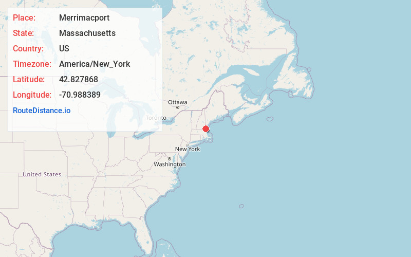
Full AddressMerrimacport, Merrimac, MA 01860
-
Coordinates42.827868, -70.9883893
-
LocationMerrimac , Massachusetts , US
-
TimezoneAmerica/New_York
-
Current Local Time12:45:37 PM America/New_YorkThursday, July 3, 2025
-
Page Views0
About Merrimacport
Merrimacport is an unincorporated village and the oldest section of the town of Merrimac, in Essex County, Massachusetts, United States, located along the Merrimack River.
Settled in 1638, it began as a fishing village and was long a part of the section of Amesbury known as West Amesbury.
Nearby Places
Found 10 places within 50 miles

Merrimac
0.8 mi
1.3 km
Merrimac, MA 01860
Get directions

West Newbury
1.8 mi
2.9 km
West Newbury, MA
Get directions

Amesbury
3.6 mi
5.8 km
Amesbury, MA
Get directions

Newton
3.7 mi
6.0 km
Newton, NH 03858
Get directions

South Hampton
3.9 mi
6.3 km
South Hampton, NH
Get directions

Salisbury Point
4.0 mi
6.4 km
Salisbury Point, Amesbury, MA 01913
Get directions

Groveland
5.1 mi
8.2 km
Groveland, MA 01834
Get directions

Plaistow
5.4 mi
8.7 km
Plaistow, NH 03865
Get directions

Haverhill
5.7 mi
9.2 km
Haverhill, MA
Get directions

Newburyport
5.7 mi
9.2 km
Newburyport, MA
Get directions
Location Links
Local Weather
Weather Information
Coming soon!
Location Map
Static map view of Merrimacport, Massachusetts
Browse Places by Distance
Places within specific distances from Merrimacport
Short Distances
Long Distances
Click any distance to see all places within that range from Merrimacport. Distances shown in miles (1 mile ≈ 1.61 kilometers).