Distance to Miamiville, Ohio

Calculating Your Route
Just a moment while we process your request...
Location Information
-
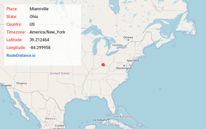
Full AddressMiamiville, OH
-
Coordinates39.212464, -84.2999577
-
LocationMiamiville , Ohio , US
-
TimezoneAmerica/New_York
-
Current Local Time12:05:58 PM America/New_YorkFriday, June 13, 2025
-
Page Views0
About Miamiville
Miamiville is an unincorporated community and census-designated place in western Miami Township, Clermont County, Ohio, United States, along the Little Miami River and the Loveland Bike Trail. It had a population of 205 at the 2020 census. It has a post office with the ZIP code 45147.
Nearby Places
Found 10 places within 50 miles

Camp Dennison
1.2 mi
1.9 km
Camp Dennison, OH
Get directions

Remington
1.6 mi
2.6 km
Remington, OH
Get directions

Milford
2.6 mi
4.2 km
Milford, OH
Get directions
Concorde Hills
3.1 mi
5.0 km
Concorde Hills, OH
Get directions

Montgomery
3.1 mi
5.0 km
Montgomery, OH
Get directions

Indian Hill
3.3 mi
5.3 km
Indian Hill, OH
Get directions
Mulberry
3.4 mi
5.5 km
Mulberry, OH 45150
Get directions
Kenwood
3.6 mi
5.8 km
Kenwood, OH
Get directions
Terrace Park
3.7 mi
6.0 km
Terrace Park, OH
Get directions
Mt Repose
4.1 mi
6.6 km
Mt Repose, OH 45150
Get directions
Location Links
Local Weather
Weather Information
Coming soon!
Location Map
Static map view of Miamiville, Ohio
Browse Places by Distance
Places within specific distances from Miamiville
Short Distances
Long Distances
Click any distance to see all places within that range from Miamiville. Distances shown in miles (1 mile ≈ 1.61 kilometers).