Distance to Remington, Ohio

Calculating Your Route
Just a moment while we process your request...
Location Information
-
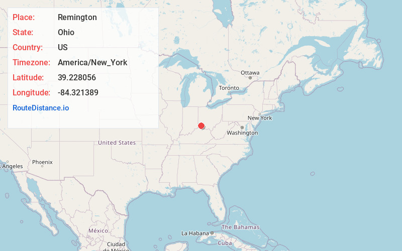
Full AddressRemington, OH
-
Coordinates39.228056, -84.321389
-
LocationRemington , Ohio , US
-
TimezoneAmerica/New_York
-
Current Local Time4:34:06 PM America/New_YorkSaturday, May 31, 2025
-
Page Views0
About Remington
Remington is a small hamlet and census-designated place in Symmes Township, Hamilton County, Ohio, United States. It is adjacent to Loveland, Indian Hill, and Camp Dennison and is considered part of the Greater Cincinnati area. It is included in the Indian Hill Exempted Village School District.
Nearby Places
Found 10 places within 50 miles

Montgomery
1.8 mi
2.9 km
Montgomery, OH
Get directions

Kenwood
2.7 mi
4.3 km
Kenwood, OH
Get directions

Blue Ash
3.1 mi
5.0 km
Blue Ash, OH
Get directions
Sixteen Mile Stand
3.1 mi
5.0 km
Sixteen Mile Stand, OH 45249
Get directions

Indian Hill
3.5 mi
5.6 km
Indian Hill, OH
Get directions
Rossmoyne
3.6 mi
5.8 km
Rossmoyne, OH
Get directions

Milford
3.9 mi
6.3 km
Milford, OH
Get directions

Loveland
4.2 mi
6.8 km
Loveland, OH 45140
Get directions

Deer Park
4.2 mi
6.8 km
Deer Park, OH 45236
Get directions
Highpoint
4.4 mi
7.1 km
Highpoint, OH 45249
Get directions
Location Links
Local Weather
Weather Information
Coming soon!
Location Map
Static map view of Remington, Ohio
Browse Places by Distance
Places within specific distances from Remington
Short Distances
Long Distances
Click any distance to see all places within that range from Remington. Distances shown in miles (1 mile ≈ 1.61 kilometers).