Distance to Midlothian

Calculating Your Route
Just a moment while we process your request...
Location Information
-
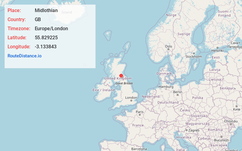
Full AddressMidlothian, UK
-
Coordinates55.8292247, -3.1338428
-
LocationGB
-
TimezoneEurope/London
-
Current Local Time9:41:55 PM Europe/LondonThursday, July 3, 2025
-
Page Views0
About Midlothian
Midlothian is registration county, lieutenancy area and one of 32 council areas of Scotland used for local government. Midlothian lies in the east-central Lowlands, bordering the City of Edinburgh council area, East Lothian and the Scottish Borders.


Nearby Places
Found 5 places within 50 miles

Edinburgh Airport
12.0 mi
19.3 km
Edinburgh Airport (EDI), Edinburgh EH12 9DN, United Kingdom
Get directions

United Kingdom
33.3 mi
53.6 km
United Kingdom
Get directions

Stirling
36.9 mi
59.4 km
Stirling, UK
Get directions

St Andrews
37.6 mi
60.5 km
St Andrews, UK
Get directions

Glasgow
43.7 mi
70.3 km
Glasgow, UK
Get directions
Location Links
Local Weather
Weather Information
Coming soon!
Location Map
Static map view of Midlothian
Browse Places by Distance
Places within specific distances from Midlothian
Short Distances
Long Distances
Click any distance to see all places within that range from Midlothian. Distances shown in miles (1 mile ≈ 1.61 kilometers).