Distance to Milburn, Kentucky

Calculating Your Route
Just a moment while we process your request...
Location Information
-
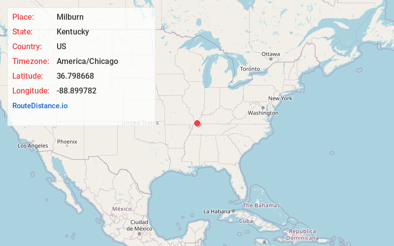
Full AddressMilburn, KY 42021
-
Coordinates36.7986679, -88.8997817
-
LocationMilburn , Kentucky , US
-
TimezoneAmerica/Chicago
-
Current Local Time1:25:09 AM America/ChicagoMonday, June 9, 2025
-
Page Views0
About Milburn
Milburn is an unincorporated community in Carlisle County, Kentucky, United States. Its elevation is 482 feet, and it is located at 36°47′55″N 88°53′59″W. Located along Kentucky Route 80 at its junction with Kentucky Routes 1371 and 1377, Milburn lies amid rolling ...
Nearby Places
Found 10 places within 50 miles

New Cypress
4.9 mi
7.9 km
New Cypress, KY 42031
Get directions
Old Cypress
5.2 mi
8.4 km
Old Cypress, KY 42031
Get directions

Fancy Farm
6.0 mi
9.7 km
Fancy Farm, KY 42039
Get directions
Arlington
6.3 mi
10.1 km
Arlington, KY 42021
Get directions
Dublin
7.4 mi
11.9 km
Dublin, KY 42066
Get directions

Cunningham
7.5 mi
12.1 km
Cunningham, KY
Get directions

Bardwell
7.9 mi
12.7 km
Bardwell, KY 42023
Get directions
Lowes
9.2 mi
14.8 km
Lowes, KY
Get directions
Baltimore
9.3 mi
15.0 km
Baltimore, KY 42066
Get directions

Clinton
10.5 mi
16.9 km
Clinton, KY 42031
Get directions
Location Links
Local Weather
Weather Information
Coming soon!
Location Map
Static map view of Milburn, Kentucky
Browse Places by Distance
Places within specific distances from Milburn
Short Distances
Long Distances
Click any distance to see all places within that range from Milburn. Distances shown in miles (1 mile ≈ 1.61 kilometers).