Distance to Mill Fork, Utah

Calculating Your Route
Just a moment while we process your request...
Location Information
-
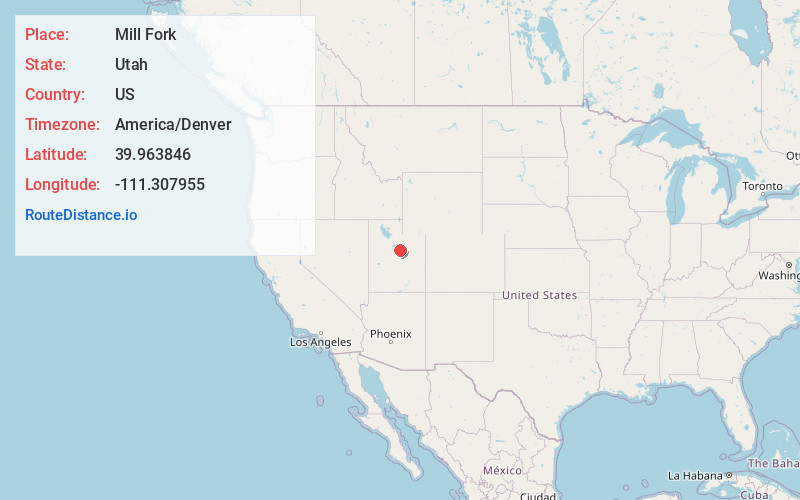
Full AddressMill Fork, UT 84660
-
Coordinates39.9638459, -111.3079552
-
LocationUtah , US
-
TimezoneAmerica/Denver
-
Current Local Time11:03:42 PM America/DenverThursday, June 19, 2025
-
Page Views0
About Mill Fork
Mill Fork is a ghost town located approximately 12 miles east of Thistle in Spanish Fork Canyon in Utah County, Utah, United States. Named for its sawmills, Mill Fork was important in the development of the railroad through the canyon.
Nearby Places
Found 10 places within 50 miles

Three Forks
8.7 mi
14.0 km
Three Forks, UT
Get directions

Birdseye
13.1 mi
21.1 km
Birdseye, UT 84660
Get directions

Indianola
14.7 mi
23.7 km
Indianola, UT 84629
Get directions

Woodland Hills
18.3 mi
29.5 km
Woodland Hills, UT
Get directions

Scofield
18.3 mi
29.5 km
Scofield, UT 84526
Get directions

Mapleton
18.4 mi
29.6 km
Mapleton, UT
Get directions

Elk Ridge
19.8 mi
31.9 km
Elk Ridge, UT
Get directions

Salem
20.3 mi
32.7 km
Salem, UT
Get directions

Spanish Fork
21.1 mi
34.0 km
Spanish Fork, UT 84660
Get directions

Springville
21.2 mi
34.1 km
Springville, UT
Get directions
Location Links
Local Weather
Weather Information
Coming soon!
Location Map
Static map view of Mill Fork, Utah
Browse Places by Distance
Places within specific distances from Mill Fork
Short Distances
Long Distances
Click any distance to see all places within that range from Mill Fork. Distances shown in miles (1 mile ≈ 1.61 kilometers).