Distance to Mill Point, West Virginia

Calculating Your Route
Just a moment while we process your request...
Location Information
-
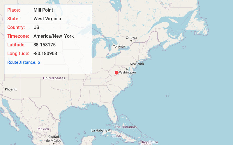
Full AddressMill Point, WV 24954
-
Coordinates38.1581751, -80.1809025
-
LocationMill Point , West Virginia , US
-
TimezoneAmerica/New_York
-
Current Local Time11:20:16 PM America/New_YorkThursday, June 19, 2025
-
Page Views0
About Mill Point
Mill Point is an unincorporated community in Pocahontas County, West Virginia, United States. Mill Point is at the junction of U.S. Route 219 and state routes 39 and 55, 2.5 miles northeast of Hillsboro.
Mill Point was so named on account of there being several mills near the original town site.
Nearby Places
Found 10 places within 50 miles

Seebert
2.0 mi
3.2 km
Seebert, WV 24954
Get directions

Hillsboro
2.4 mi
3.9 km
Hillsboro, WV
Get directions

Buckeye
3.2 mi
5.1 km
Buckeye, WV
Get directions
Kennison
3.5 mi
5.6 km
Kennison, WV 24966
Get directions
Burnsides
3.7 mi
6.0 km
Burnsides, WV 24966
Get directions
Beard Heights
5.1 mi
8.2 km
Beard Heights, WV 24954
Get directions
Stillwell
5.7 mi
9.2 km
Stillwell, WV 24954
Get directions

Marlinton
6.5 mi
10.5 km
Marlinton, WV
Get directions
Droop
8.0 mi
12.9 km
Droop, WV 24966
Get directions
Woodrow
8.6 mi
13.8 km
Woodrow, WV 24954
Get directions
Location Links
Local Weather
Weather Information
Coming soon!
Location Map
Static map view of Mill Point, West Virginia
Browse Places by Distance
Places within specific distances from Mill Point
Short Distances
Long Distances
Click any distance to see all places within that range from Mill Point. Distances shown in miles (1 mile ≈ 1.61 kilometers).