Distance to Miller, Ohio

Calculating Your Route
Just a moment while we process your request...
Location Information
-
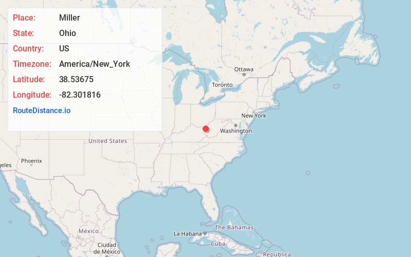
Full AddressMiller, OH
-
Coordinates38.5367504, -82.3018158
-
LocationMiller , Ohio , US
-
TimezoneAmerica/New_York
-
Current Local Time2:54:39 AM America/New_YorkFriday, June 20, 2025
-
Page Views0
About Miller
Miller is an unincorporated community and census-designated place in Lawrence County, Ohio, United States, along the Ohio River. It was first listed as a CDP prior to the 2020 census. The population was 455 at the 2020 census.
The CDP is in southeastern Lawrence County, in Rome Township.
Nearby Places
Found 10 places within 50 miles

Lesage
2.1 mi
3.4 km
Lesage, WV
Get directions

Proctorville
8.2 mi
13.2 km
Proctorville, OH 45669
Get directions

Pea Ridge
8.5 mi
13.7 km
Pea Ridge, WV
Get directions

Barboursville
8.8 mi
14.2 km
Barboursville, WV
Get directions

Huntington
11.2 mi
18.0 km
Huntington, WV
Get directions

Chesapeake
11.3 mi
18.2 km
Chesapeake, OH 45619
Get directions

Milton
11.6 mi
18.7 km
Milton, WV
Get directions

Burlington
15.5 mi
24.9 km
Burlington, OH 45680
Get directions

Culloden
15.6 mi
25.1 km
Culloden, WV
Get directions

Lavalette
16.7 mi
26.9 km
Lavalette, WV 25535
Get directions
Location Links
Local Weather
Weather Information
Coming soon!
Location Map
Static map view of Miller, Ohio
Browse Places by Distance
Places within specific distances from Miller
Short Distances
Long Distances
Click any distance to see all places within that range from Miller. Distances shown in miles (1 mile ≈ 1.61 kilometers).