Distance to Miller, Nebraska

Calculating Your Route
Just a moment while we process your request...
Location Information
-
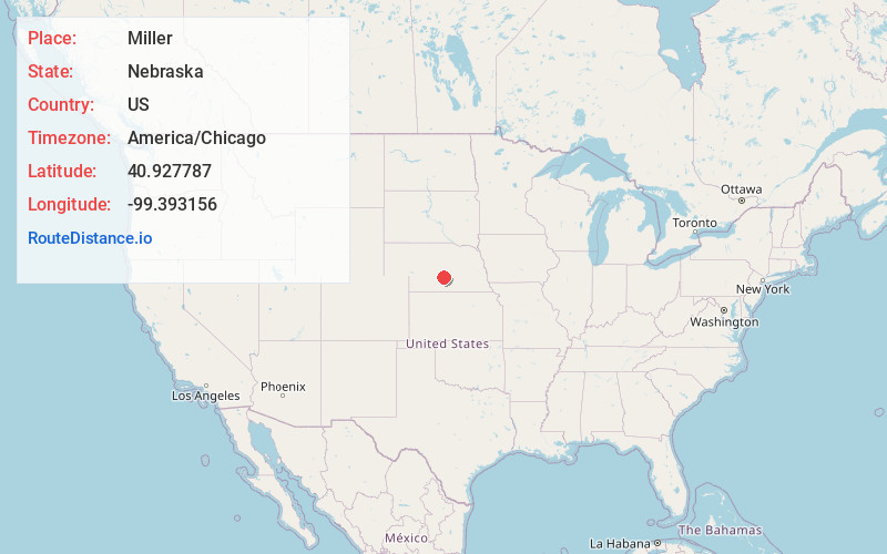
Full AddressMiller, NE 68858
-
Coordinates40.927787, -99.3931555
-
LocationMiller , Nebraska , US
-
TimezoneAmerica/Chicago
-
Current Local Time7:17:04 AM America/ChicagoSaturday, May 31, 2025
-
Page Views0
About Miller
Miller is a village in Buffalo County, Nebraska, United States. It is part of the Kearney, Nebraska Micropolitan Statistical Area. As of the 2010 census, the village population was 136.
Nearby Places
Found 10 places within 50 miles

Sumner
6.1 mi
9.8 km
Sumner, NE 68878
Get directions

Amherst
8.9 mi
14.3 km
Amherst, NE 68812
Get directions

Elm Creek
14.5 mi
23.3 km
Elm Creek, NE 68836
Get directions

Overton
15.1 mi
24.3 km
Overton, NE 68863
Get directions
Riverdale
15.6 mi
25.1 km
Riverdale, NE 68870
Get directions
Pleasanton
16.2 mi
26.1 km
Pleasanton, NE 68866
Get directions

Litchfield
20.1 mi
32.3 km
Litchfield, NE 68852
Get directions
Glenwood
20.3 mi
32.7 km
Glenwood, NE
Get directions

Lexington
20.8 mi
33.5 km
Lexington, NE 68850
Get directions
Mason City
21.0 mi
33.8 km
Mason City, NE 68855
Get directions
Location Links
Local Weather
Weather Information
Coming soon!
Location Map
Static map view of Miller, Nebraska
Browse Places by Distance
Places within specific distances from Miller
Short Distances
Long Distances
Click any distance to see all places within that range from Miller. Distances shown in miles (1 mile ≈ 1.61 kilometers).