Distance to Millers Bluff, Arkansas

Calculating Your Route
Just a moment while we process your request...
Location Information
-
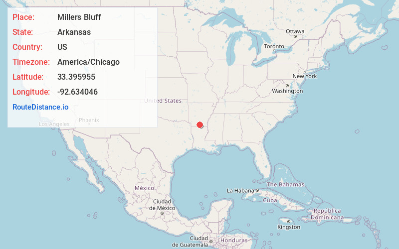
Full AddressMillers Bluff, AR 71751
-
Coordinates33.3959546, -92.6340459
-
LocationArkansas , US
-
TimezoneAmerica/Chicago
-
Current Local Time12:07:04 AM America/ChicagoSunday, June 22, 2025
-
Page Views0
Nearby Places
Found 10 places within 50 miles

Standard Umpstead
2.8 mi
4.5 km
Standard Umpstead, AR 71762
Get directions

Smackover
5.7 mi
9.2 km
Smackover, AR 71762
Get directions
Sandy Land
5.7 mi
9.2 km
Sandy Land, AR 71762
Get directions
Norphlet
5.8 mi
9.3 km
Norphlet, AR
Get directions

Calion
7.0 mi
11.3 km
Calion, AR
Get directions
Quinn
8.0 mi
12.9 km
Quinn, AR 71730
Get directions
Louann
9.1 mi
14.6 km
Louann, AR 71751
Get directions
Ritchie
9.3 mi
15.0 km
Ritchie, AR 71730
Get directions
Herma
9.4 mi
15.1 km
Herma, AR 71730
Get directions
Artesian
9.5 mi
15.3 km
Artesian, AR 71744
Get directions
Location Links
Local Weather
Weather Information
Coming soon!
Location Map
Static map view of Millers Bluff, Arkansas
Browse Places by Distance
Places within specific distances from Millers Bluff
Short Distances
Long Distances
Click any distance to see all places within that range from Millers Bluff. Distances shown in miles (1 mile ≈ 1.61 kilometers).