Distance to Millers Tavern, Virginia

Calculating Your Route
Just a moment while we process your request...
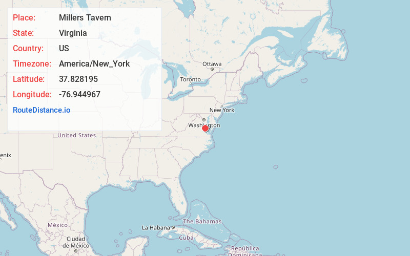
Location Information
-
Full AddressMillers Tavern, VA 22560
-
Coordinates37.8281948, -76.9449674
-
LocationMillers Tavern , Virginia , US
-
TimezoneAmerica/New_York
-
Current Local Time11:17:39 PM America/New_YorkTuesday, June 24, 2025
-
Page Views0
About Millers Tavern
Miller's Tavern, Virginia is a small community located on the border of Essex County and King and Queen County, Virginia, in the United States.
The community is located at the junction of U.S. Route 360 with Routes 620 and 684.
The ZIP code for the community is 23115.
Watt's Supermarket is a landmark in the community.
Nearby Places
Found 10 places within 50 miles

Minor
2.2 mi
3.5 km
Minor, VA 22560
Get directions
Howertons
3.0 mi
4.8 km
Howertons, VA 22454
Get directions
Pauls Crossroads
3.2 mi
5.1 km
Pauls Crossroads, VA 22560
Get directions
Meade
3.6 mi
5.8 km
Meade, VA 22560
Get directions
Bestland
3.7 mi
6.0 km
Bestland, VA 22454
Get directions
Dunbrooke
4.7 mi
7.6 km
Dunbrooke, VA 22560
Get directions
Henley Fork
4.7 mi
7.6 km
Henley Fork, VA 22560
Get directions
Daisy
4.8 mi
7.7 km
Daisy, VA 23023
Get directions
Henleys Fork
5.6 mi
9.0 km
Henleys Fork, VA 23023
Get directions
Brays
6.1 mi
9.8 km
Brays, VA 22560
Get directions
Location Links
Local Weather
Weather Information
Coming soon!
Location Map
Static map view of Millers Tavern, Virginia
Browse Places by Distance
Places within specific distances from Millers Tavern
Short Distances
Long Distances
Click any distance to see all places within that range from Millers Tavern. Distances shown in miles (1 mile ≈ 1.61 kilometers).