Distance to Millerstown, Ohio

Calculating Your Route
Just a moment while we process your request...
Location Information
-
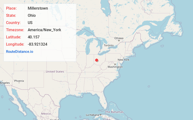
Full AddressMillerstown, Johnson Township, OH 43072
-
Coordinates40.1569997, -83.9213241
-
LocationJohnson Township , Ohio , US
-
TimezoneAmerica/New_York
-
Current Local Time8:02:22 AM America/New_YorkWednesday, June 18, 2025
-
Page Views0
About Millerstown
Millerstown is an unincorporated community in eastern Johnson Township, Champaign County, Ohio, United States. It lies at the intersection of Heck Hill, Ward, and Zimmerman Roads, 2+1⁄2 miles north of U.S. Route 36. Nettle Creek, a tributary of the Mad River, flows past Millerstown.
Nearby Places
Found 10 places within 50 miles

St Paris
2.8 mi
4.5 km
St Paris, OH 43072
Get directions

Rosewood
4.7 mi
7.6 km
Rosewood, OH
Get directions

Westville
5.5 mi
8.9 km
Westville, OH 43078
Get directions

Conover
6.8 mi
10.9 km
Conover, OH
Get directions
Tawawa
7.8 mi
12.6 km
Tawawa, Green Township, OH 45365
Get directions

Christiansburg
8.9 mi
14.3 km
Christiansburg, OH
Get directions

Urbana
9.5 mi
15.3 km
Urbana, OH 43078
Get directions
Fletcher
10.1 mi
16.3 km
Fletcher, OH 45326
Get directions

Quincy
10.1 mi
16.3 km
Quincy, OH 43343
Get directions

De Graff
10.7 mi
17.2 km
De Graff, OH 43318
Get directions
Location Links
Local Weather
Weather Information
Coming soon!
Location Map
Static map view of Millerstown, Ohio
Browse Places by Distance
Places within specific distances from Millerstown
Short Distances
Long Distances
Click any distance to see all places within that range from Millerstown. Distances shown in miles (1 mile ≈ 1.61 kilometers).