Distance to Millfield, Ohio

Calculating Your Route
Just a moment while we process your request...
Location Information
-
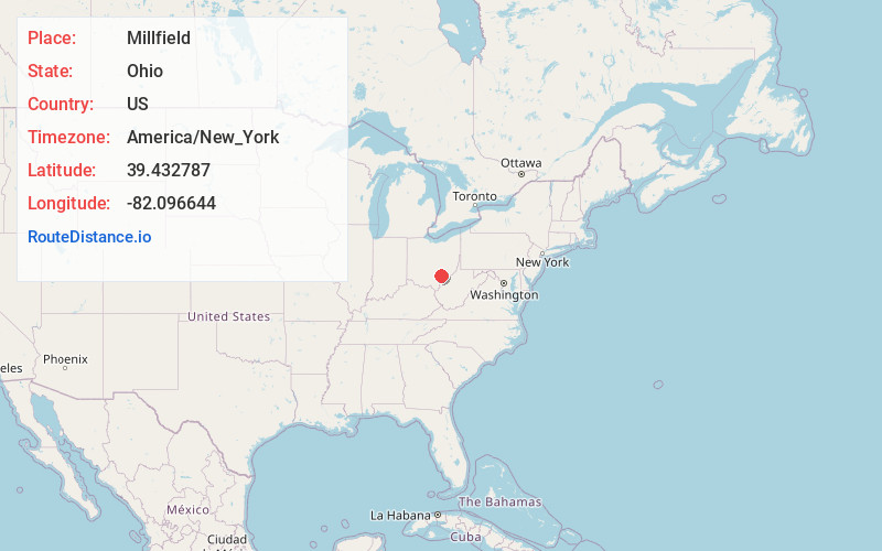
Full AddressMillfield, OH 45761
-
Coordinates39.4327866, -82.0966442
-
LocationMillfield , Ohio , US
-
TimezoneAmerica/New_York
-
Current Local Time12:34:15 PM America/New_YorkMonday, June 2, 2025
-
Page Views0
About Millfield
Millfield is a census-designated place in northern Dover Township, Athens County, Ohio, United States. It had a population of 311 at the 2020 census. It has a post office with the ZIP code 45761. It is located near State Route 13 midway between Chauncey and Jacksonville.
Nearby Places
Found 10 places within 50 miles

Chauncey
3.0 mi
4.8 km
Chauncey, OH
Get directions

Jacksonville
3.0 mi
4.8 km
Jacksonville, OH
Get directions

Trimble
3.7 mi
6.0 km
Trimble, OH
Get directions

The Plains
4.8 mi
7.7 km
The Plains, OH
Get directions

Glouster
4.9 mi
7.9 km
Glouster, OH 45732
Get directions

Buchtel
5.0 mi
8.0 km
Buchtel, OH
Get directions

Murray City
6.5 mi
10.5 km
Murray City, OH
Get directions

Athens
7.2 mi
11.6 km
Athens, OH 45701
Get directions

Nelsonville
7.4 mi
11.9 km
Nelsonville, OH 45764
Get directions

Corning
11.7 mi
18.8 km
Corning, OH 43730
Get directions
Location Links
Local Weather
Weather Information
Coming soon!
Location Map
Static map view of Millfield, Ohio
Browse Places by Distance
Places within specific distances from Millfield
Short Distances
Long Distances
Click any distance to see all places within that range from Millfield. Distances shown in miles (1 mile ≈ 1.61 kilometers).