Distance to Millgrove Township, Indiana

Calculating Your Route
Just a moment while we process your request...
Location Information
-
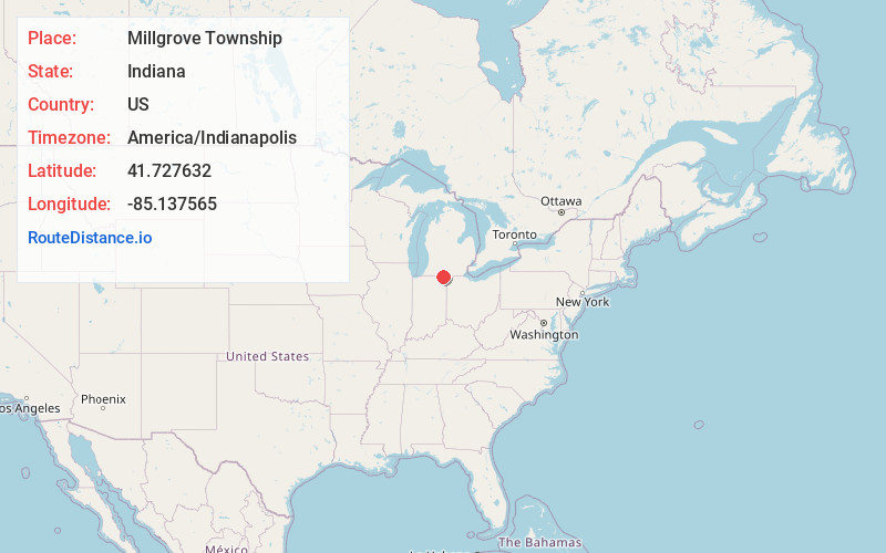
Full AddressMillgrove Township, IN
-
Coordinates41.7276319, -85.1375645
-
LocationMillgrove Township , Indiana , US
-
TimezoneAmerica/Indianapolis
-
Page Views0
About Millgrove Township
Millgrove Township is one of twelve townships in Steuben County, Indiana, United States. As of the 2020 census, its population was 1,619, up from 1,577 at 2010, and it contained 960 housing units.


Nearby Places
Found 10 places within 50 miles

Orland
1.8 mi
2.9 km
Orland, IN 46776
Get directions

Inverness
2.9 mi
4.7 km
Inverness, Millgrove Township, IN 46703
Get directions
Gilead Township
4.2 mi
6.8 km
Gilead Township, MI
Get directions
East Gilead
4.7 mi
7.6 km
East Gilead, Gilead Township, MI 49028
Get directions
Jamestown Township
5.4 mi
8.7 km
Jamestown Township, IN
Get directions
Flint
5.4 mi
8.7 km
Flint, IN 46703
Get directions

Snow Lake
5.4 mi
8.7 km
Snow Lake, Jamestown Township, IN 46737
Get directions
West Kinderhook
5.7 mi
9.2 km
West Kinderhook, MI 49036
Get directions

Lake James
6.1 mi
9.8 km
Lake James, Indiana
Get directions

Crooked Lake
6.2 mi
10.0 km
Crooked Lake, IN 46703
Get directions
Location Links
Local Weather
Weather Information
Coming soon!
Location Map
Static map view of Millgrove Township, Indiana
Browse Places by Distance
Places within specific distances from Millgrove Township
Short Distances
Long Distances
Click any distance to see all places within that range from Millgrove Township. Distances shown in miles (1 mile ≈ 1.61 kilometers).