Distance to Orland, Indiana

Calculating Your Route
Just a moment while we process your request...
Location Information
-
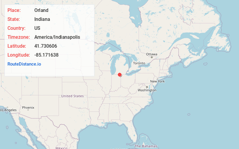
Full AddressOrland, IN 46776
-
Coordinates41.7306059, -85.1716376
-
LocationOrland , Indiana , US
-
TimezoneAmerica/Indianapolis
-
Page Views0
About Orland
Orland is a town located in the northwest corner of Steuben County, Indiana in Millgrove Township at the intersection of State Road 120 and State Road 327. The population was 389 at the 2020 census.


Nearby Places
Found 10 places within 50 miles

Bronson
9.9 mi
15.9 km
Bronson, MI 49028
Get directions

Burr Oak
11.1 mi
17.9 km
Burr Oak, MI 49030
Get directions

Angola
11.1 mi
17.9 km
Angola, IN 46703
Get directions

Fremont
12.3 mi
19.8 km
Fremont, IN 46737
Get directions

Howe
12.9 mi
20.8 km
Howe, IN 46746
Get directions

Pleasant Lake
13.4 mi
21.6 km
Pleasant Lake, IN 46779
Get directions

Sturgis
13.6 mi
21.9 km
Sturgis, MI 49091
Get directions

LaGrange
14.1 mi
22.7 km
LaGrange, IN 46761
Get directions

Hudson
14.4 mi
23.2 km
Hudson, IN
Get directions
Ashley
15.1 mi
24.3 km
Ashley, IN 46705
Get directions
Location Links
Local Weather
Weather Information
Coming soon!
Location Map
Static map view of Orland, Indiana
Browse Places by Distance
Places within specific distances from Orland
Short Distances
Long Distances
Click any distance to see all places within that range from Orland. Distances shown in miles (1 mile ≈ 1.61 kilometers).