Distance to Millican, Oregon

Calculating Your Route
Just a moment while we process your request...
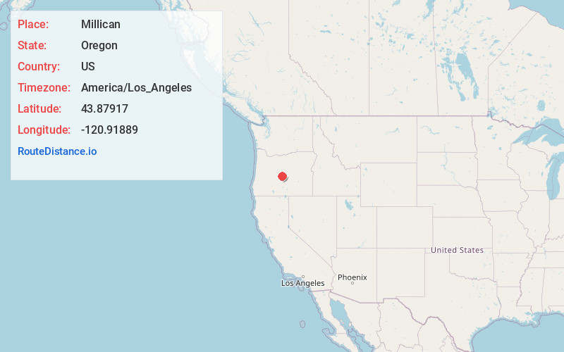
Location Information
-
Full AddressMillican, OR 97701
-
Coordinates43.87917, -120.91889
-
LocationMillican , Oregon , US
-
TimezoneAmerica/Los_Angeles
-
Current Local Time1:25:45 AM America/Los_AngelesFriday, June 6, 2025
-
Page Views0
About Millican
Millican is an unincorporated community in Deschutes County, Oregon, United States on U.S. Route 20. It is just east of Horse Ridge and approximately 25 miles east of Bend and is part of the Bend, Oregon Metropolitan Statistical Area. Its elevation is 4,304 feet above sea level.


Nearby Places
Found 10 places within 50 miles

Alfalfa
14.5 mi
23.3 km
Alfalfa, OR 97701
Get directions

Brothers
16.4 mi
26.4 km
Brothers, OR 97712
Get directions

Roberts
18.2 mi
29.3 km
Roberts, OR 97754
Get directions

Lava Butte
21.9 mi
35.2 km
Lava Butte, Oregon 97702
Get directions

Deschutes River Woods
23.2 mi
37.3 km
Deschutes River Woods, OR 97702
Get directions

Bend
23.3 mi
37.5 km
Bend, OR
Get directions
Seventh Mountain
24.6 mi
39.6 km
Seventh Mountain, OR 97702
Get directions

Sunriver
25.6 mi
41.2 km
Sunriver, OR 97707
Get directions
Powell Butte
25.9 mi
41.7 km
Powell Butte, OR 97753
Get directions

Three Rivers
27.7 mi
44.6 km
Three Rivers, OR 97707
Get directions
Location Links
Local Weather
Weather Information
Coming soon!
Location Map
Static map view of Millican, Oregon
Browse Places by Distance
Places within specific distances from Millican
Short Distances
Long Distances
Click any distance to see all places within that range from Millican. Distances shown in miles (1 mile ≈ 1.61 kilometers).