Distance to Powell Butte, Oregon

Calculating Your Route
Just a moment while we process your request...
Location Information
-
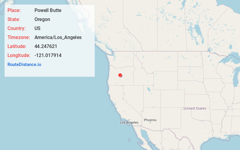
Full AddressPowell Butte, OR 97753
-
Coordinates44.2476209, -121.0179143
-
LocationPowell Butte , Oregon , US
-
TimezoneAmerica/Los_Angeles
-
Current Local Time2:42:23 AM America/Los_AngelesSunday, June 22, 2025
-
Page Views0
About Powell Butte
Powell Butte is an unincorporated community in Crook County, Oregon, United States, and named after the nearby Powell Buttes. It is on Oregon Route 126 west of Prineville and east of Redmond. Powell Butte post office was established in 1909.
Nearby Places
Found 10 places within 50 miles

Redmond
7.9 mi
12.7 km
Redmond, OR 97756
Get directions

Prineville
9.8 mi
15.8 km
Prineville, OR
Get directions

Terrebonne
10.7 mi
17.2 km
Terrebonne, OR 97760
Get directions

Alfalfa
11.8 mi
19.0 km
Alfalfa, OR 97701
Get directions

Opal City
16.7 mi
26.9 km
Opal City, OR 97734
Get directions

Tumalo
16.9 mi
27.2 km
Tumalo, OR 97703
Get directions
Grizzly
18.0 mi
29.0 km
Grizzly, OR 97741
Get directions

Bend
19.7 mi
31.7 km
Bend, OR
Get directions
Roberts
20.1 mi
32.3 km
Roberts, OR 97754
Get directions

Culver
21.5 mi
34.6 km
Culver, OR 97734
Get directions
Location Links
Local Weather
Weather Information
Coming soon!
Location Map
Static map view of Powell Butte, Oregon
Browse Places by Distance
Places within specific distances from Powell Butte
Short Distances
Long Distances
Click any distance to see all places within that range from Powell Butte. Distances shown in miles (1 mile ≈ 1.61 kilometers).