Distance to Milltown, South Dakota
Location Information
-
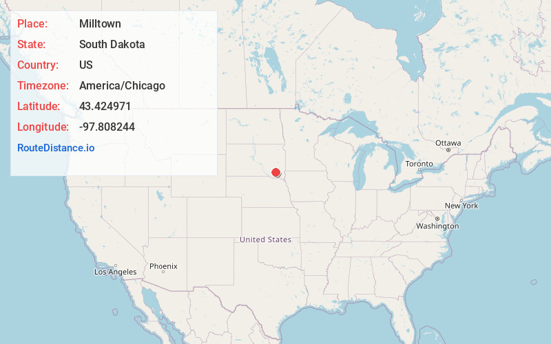
Full AddressMilltown, SD 57366
-
Coordinates43.4249708, -97.8082444
-
LocationMilltown , South Dakota , US
-
TimezoneAmerica/Chicago
-
Current Local Time5:52:29 PM America/ChicagoFriday, May 16, 2025
-
Page Views0
About Milltown
Milltown is a census-designated place in Hutchinson County, South Dakota, United States. The population was 8 at the 2020 census.
Milltown was so named for the fact many of its early residents milled their supply of flour.
Nearby Places
Found 10 places within 50 miles

New Elm Springs Colony
4.5 mi
7.2 km
New Elm Springs Colony, New Elm Spring Colony, SD 57334
Get directions
Tschetter Colony
7.2 mi
11.6 km
Tschetter Colony, SD 57052
Get directions

Parkston
9.0 mi
14.5 km
Parkston, SD 57366
Get directions

Dimock
9.5 mi
15.3 km
Dimock, SD 57331
Get directions
Rockport Colony
11.0 mi
17.7 km
Rockport Colony, Beulah Township, SD 57311
Get directions

Ethan
12.3 mi
19.8 km
Ethan, SD 57334
Get directions
Olivet
14.4 mi
23.2 km
Olivet, SD 57052
Get directions

Emery
15.3 mi
24.6 km
Emery, SD 57332
Get directions

Alexandria
15.8 mi
25.4 km
Alexandria, SD 57311
Get directions

Tripp
15.9 mi
25.6 km
Tripp, SD 57376
Get directions
Location Links
Local Weather
Weather Information
Coming soon!
Location Map
Static map view of Milltown, South Dakota
Browse Places by Distance
Places within specific distances from Milltown
Short Distances
Long Distances
Click any distance to see all places within that range from Milltown. Distances shown in miles (1 mile ≈ 1.61 kilometers).