Distance to Millwood, West Virginia

Calculating Your Route
Just a moment while we process your request...
Location Information
-
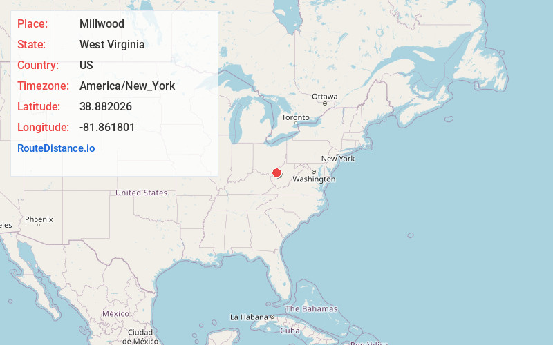
Full AddressMillwood, WV 25239
-
Coordinates38.8820263, -81.8618013
-
LocationMillwood , West Virginia , US
-
TimezoneAmerica/New_York
-
Current Local Time10:35:48 AM America/New_YorkSaturday, May 24, 2025
-
Page Views0
About Millwood
Millwood is an unincorporated community in northwestern Jackson County, West Virginia, United States, along the Ohio River at the mouth of Mill Creek. It lies along West Virginia Routes 2 and 62 northwest of the city of Ripley, the county seat of Jackson County. Its elevation is 577 feet.

Nearby Places
Found 10 places within 50 miles

Apple Grove
0.5 mi
0.8 km
Apple Grove, OH 45771
Get directions
Ripley Landing
1.0 mi
1.6 km
Ripley Landing, WV 25262
Get directions
Evergreen Hills
1.4 mi
2.3 km
Evergreen Hills, WV 25239
Get directions
Mt Alto
1.5 mi
2.4 km
Mt Alto, WV 25264
Get directions
Estar
1.6 mi
2.6 km
Estar, WV 25262
Get directions
East Letart
2.0 mi
3.2 km
East Letart, Letart Township, OH 45771
Get directions

Cottageville
2.4 mi
3.9 km
Cottageville, WV 25239
Get directions
Plants
3.2 mi
5.1 km
Plants, Letart Township, OH 45771
Get directions
Letart
4.0 mi
6.4 km
Letart, WV 25253
Get directions
Longdale
4.1 mi
6.6 km
Longdale, WV 25253
Get directions
Location Links
Local Weather
Weather Information
Coming soon!
Location Map
Static map view of Millwood, West Virginia
Browse Places by Distance
Places within specific distances from Millwood
Short Distances
Long Distances
Click any distance to see all places within that range from Millwood. Distances shown in miles (1 mile ≈ 1.61 kilometers).