Distance to Milo, Iowa

Calculating Your Route
Just a moment while we process your request...
Location Information
-
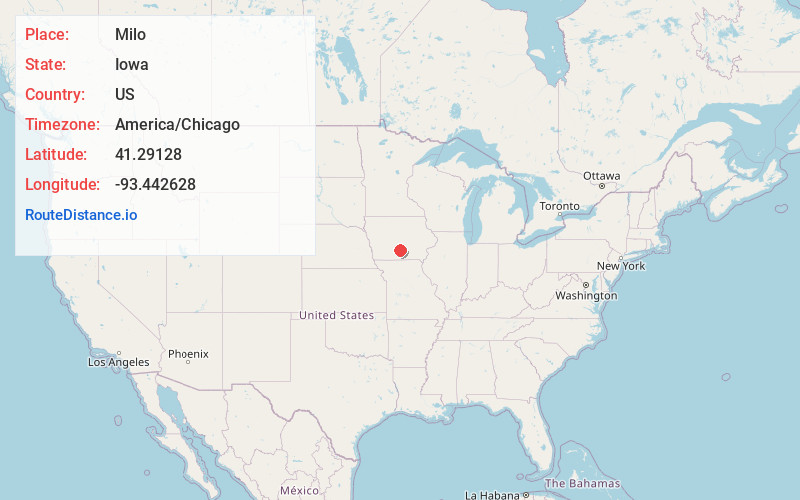
Full AddressMilo, IA 50166
-
Coordinates41.2912802, -93.4426281
-
LocationMilo , Iowa , US
-
TimezoneAmerica/Chicago
-
Current Local Time11:25:36 PM America/ChicagoTuesday, July 1, 2025
-
Page Views0
About Milo
Milo is a city in Warren County, Iowa, United States. The population was 778 at the time of the 2020 census. It is part of the Des Moines–West Des Moines Metropolitan Statistical Area.


Nearby Places
Found 10 places within 50 miles

Indianola
7.6 mi
12.2 km
Indianola, IA 50125
Get directions

Pleasantville
11.2 mi
18.0 km
Pleasantville, IA 50225
Get directions
Melcher-Dallas
11.4 mi
18.3 km
Melcher-Dallas, IA
Get directions

Carlisle
14.2 mi
22.9 km
Carlisle, IA 50047
Get directions

Norwalk
17.8 mi
28.6 km
Norwalk, IA
Get directions

Knoxville
17.9 mi
28.8 km
Knoxville, IA 50138
Get directions

St Charles
19.0 mi
30.6 km
St Charles, IA 50240
Get directions

Chariton
19.9 mi
32.0 km
Chariton, IA 50049
Get directions

Pleasant Hill
20.8 mi
33.5 km
Pleasant Hill, IA
Get directions

Des Moines
22.5 mi
36.2 km
Des Moines, IA
Get directions
Location Links
Local Weather
Weather Information
Coming soon!
Location Map
Static map view of Milo, Iowa
Browse Places by Distance
Places within specific distances from Milo
Short Distances
Long Distances
Click any distance to see all places within that range from Milo. Distances shown in miles (1 mile ≈ 1.61 kilometers).