Distance to Milton, Kansas

Calculating Your Route
Just a moment while we process your request...
Location Information
-
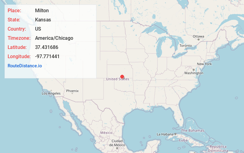
Full AddressMilton, KS 67106
-
Coordinates37.4316857, -97.7714412
-
LocationMilton , Kansas , US
-
TimezoneAmerica/Chicago
-
Current Local Time10:46:43 AM America/ChicagoSaturday, June 7, 2025
-
Page Views0
About Milton
Milton is a census-designated place in Sumner County, Kansas, United States. As of the 2020 census, the population was 155. It is located 4.5 miles southeast of Norwich at the intersection of N Argonia Rd and W 120th Ave N, next to the railroad.
Nearby Places
Found 10 places within 50 miles

Norwich
4.6 mi
7.4 km
Norwich, KS 67118
Get directions

Conway Springs
7.6 mi
12.2 km
Conway Springs, KS 67031
Get directions
Viola
7.8 mi
12.6 km
Viola, KS 67149
Get directions

Argonia
11.5 mi
18.5 km
Argonia, KS 67004
Get directions

Cheney
13.5 mi
21.7 km
Cheney, KS 67025
Get directions

Clearwater
15.9 mi
25.6 km
Clearwater, KS 67026
Get directions

Garden Plain
16.7 mi
26.9 km
Garden Plain, KS 67050
Get directions

Harper
17.2 mi
27.7 km
Harper, KS 67058
Get directions

Goddard
19.3 mi
31.1 km
Goddard, KS 67052
Get directions

Kingman
23.9 mi
38.5 km
Kingman, KS 67068
Get directions
Location Links
Local Weather
Weather Information
Coming soon!
Location Map
Static map view of Milton, Kansas
Browse Places by Distance
Places within specific distances from Milton
Short Distances
Long Distances
Click any distance to see all places within that range from Milton. Distances shown in miles (1 mile ≈ 1.61 kilometers).