Distance to Minford, Ohio

Calculating Your Route
Just a moment while we process your request...
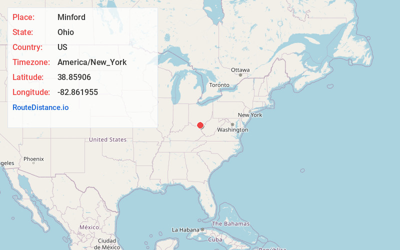
Location Information
-
Full AddressMinford, OH 45653
-
Coordinates38.8590595, -82.8619549
-
LocationMinford , Ohio , US
-
TimezoneAmerica/New_York
-
Current Local Time5:00:51 PM America/New_YorkWednesday, June 18, 2025
-
Page Views0
About Minford
Minford is a census-designated place located on the border of Harrison and Madison townships in northeastern Scioto County, Ohio, United States, about 14 miles northeast of the county seat of Portsmouth. As of the 2020 census, it had a population of 641.

Nearby Places
Found 10 places within 50 miles

Sciotodale
7.2 mi
11.6 km
Sciotodale, OH
Get directions

Lucasville
7.4 mi
11.9 km
Lucasville, OH 45648
Get directions
South Webster
7.9 mi
12.7 km
South Webster, OH 45682
Get directions
Rosemount
8.1 mi
13.0 km
Rosemount, OH 45662
Get directions

New Boston
8.4 mi
13.5 km
New Boston, OH
Get directions

Wheelersburg
8.9 mi
14.3 km
Wheelersburg, OH
Get directions

South Shore
10.9 mi
17.5 km
South Shore, KY 41175
Get directions

West Portsmouth
11.4 mi
18.3 km
West Portsmouth, OH 45663
Get directions

Portsmouth
11.4 mi
18.3 km
Portsmouth, OH 45662
Get directions

Oak Hill
15.7 mi
25.3 km
Oak Hill, OH 45656
Get directions
Location Links
Local Weather
Weather Information
Coming soon!
Location Map
Static map view of Minford, Ohio
Browse Places by Distance
Places within specific distances from Minford
Short Distances
Long Distances
Click any distance to see all places within that range from Minford. Distances shown in miles (1 mile ≈ 1.61 kilometers).