Distance to Minnesota Falls Township, Minnesota

Calculating Your Route
Just a moment while we process your request...
Location Information
-
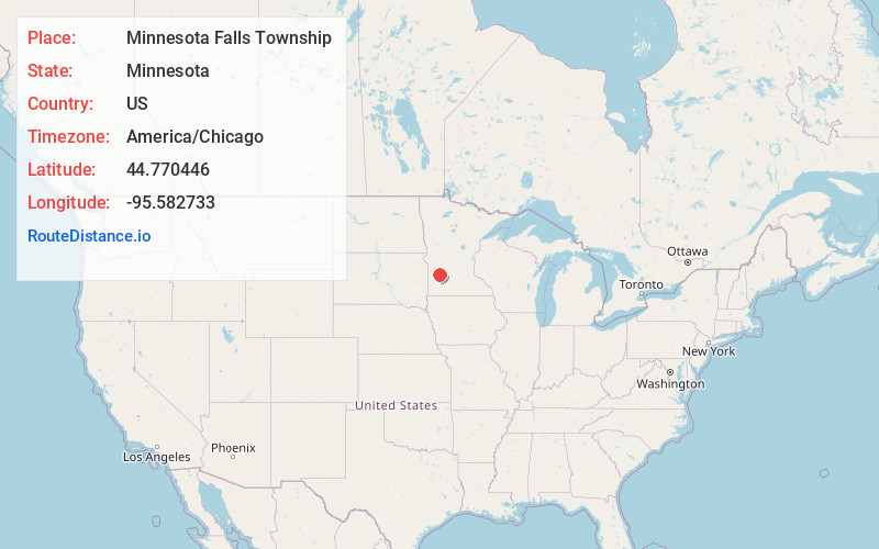
Full AddressMinnesota Falls Township, MN
-
Coordinates44.7704456, -95.5827334
-
LocationMinnesota Falls Township , Minnesota , US
-
TimezoneAmerica/Chicago
-
Current Local Time7:30:59 AM America/ChicagoSaturday, June 28, 2025
-
Page Views0
About Minnesota Falls Township
Minnesota Falls Township is a township in Yellow Medicine County, Minnesota, United States. The population was 361 at the 2000 census.
Minnesota Falls Township was organized in 1873, and named for the falls on the Minnesota River.

Nearby Places
Found 10 places within 50 miles

Granite Falls
3.3 mi
5.3 km
Granite Falls, MN 56241
Get directions

Granite Falls Township
5.7 mi
9.2 km
Granite Falls Township, MN
Get directions
Hanley Falls
5.7 mi
9.2 km
Hanley Falls, MN 56245
Get directions
Stony Run Township
6.4 mi
10.3 km
Stony Run Township, MN
Get directions
Hazel Run
6.6 mi
10.6 km
Hazel Run, MN 56241
Get directions
Asbury
7.9 mi
12.7 km
Asbury, MN 56260
Get directions

Wood Lake
8.4 mi
13.5 km
Wood Lake, MN 56297
Get directions
Wegdahl
9.0 mi
14.5 km
Wegdahl, MN 56265
Get directions
Sioux Agency Township
10.9 mi
17.5 km
Sioux Agency Township, MN
Get directions

Maynard
11.0 mi
17.7 km
Maynard, MN 56260
Get directions
Location Links
Local Weather
Weather Information
Coming soon!
Location Map
Static map view of Minnesota Falls Township, Minnesota
Browse Places by Distance
Places within specific distances from Minnesota Falls Township
Short Distances
Long Distances
Click any distance to see all places within that range from Minnesota Falls Township. Distances shown in miles (1 mile ≈ 1.61 kilometers).