Distance to Minooka, Illinois

Calculating Your Route
Just a moment while we process your request...
Location Information
-
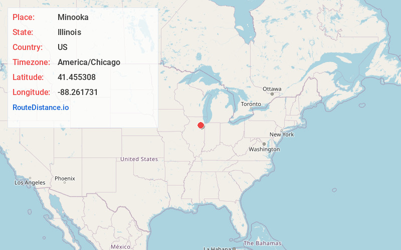
Full AddressMinooka, IL
-
Coordinates41.4553084, -88.2617305
-
LocationMinooka , Illinois , US
-
TimezoneAmerica/Chicago
-
Current Local Time7:41:10 PM America/ChicagoSaturday, June 28, 2025
-
Page Views0
About Minooka
Minooka is a village in Grundy, Kendall, and Will counties, Illinois, United States. The population was 12,758 at the 2020 census, up from 10,924 at the 2010 census. The village is part of the Chicago metropolitan area.


Nearby Places
Found 10 places within 50 miles

Channahon
2.5 mi
4.0 km
Channahon, IL
Get directions

Shorewood
5.4 mi
8.7 km
Shorewood, IL
Get directions

Joliet
10.4 mi
16.7 km
Joliet, IL
Get directions

Morris
10.7 mi
17.2 km
Morris, IL 60450
Get directions

Crest Hill
10.9 mi
17.5 km
Crest Hill, IL
Get directions

Plainfield
11.3 mi
18.2 km
Plainfield, IL
Get directions

Lockport
14.0 mi
22.5 km
Lockport, IL
Get directions

New Lenox
15.8 mi
25.4 km
New Lenox, IL
Get directions

Romeoville
16.0 mi
25.7 km
Romeoville, IL
Get directions

Yorkville
16.0 mi
25.7 km
Yorkville, IL
Get directions
Location Links
Local Weather
Weather Information
Coming soon!
Location Map
Static map view of Minooka, Illinois
Browse Places by Distance
Places within specific distances from Minooka
Short Distances
Long Distances
Click any distance to see all places within that range from Minooka. Distances shown in miles (1 mile ≈ 1.61 kilometers).