Distance to Minto, North Dakota

Calculating Your Route
Just a moment while we process your request...
Location Information
-
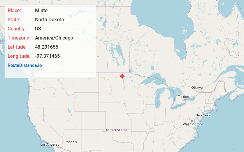
Full AddressMinto, ND 58261
-
Coordinates48.2916547, -97.3714652
-
LocationMinto , North Dakota , US
-
TimezoneAmerica/Chicago
-
Current Local Time4:13:19 PM America/ChicagoFriday, June 20, 2025
-
Page Views0
About Minto
Minto is a city in Walsh County, North Dakota, United States. The population was 616 at the 2020 census. Minto was founded in 1881.

Nearby Places
Found 10 places within 50 miles

Grafton
8.5 mi
13.7 km
Grafton, ND 58237
Get directions

Park River
18.5 mi
29.8 km
Park River, ND 58270
Get directions
Drayton
21.3 mi
34.3 km
Drayton, ND 58225
Get directions

Grand Forks AFB
23.4 mi
37.7 km
Grand Forks AFB, ND
Get directions

Argyle
25.5 mi
41.0 km
Argyle, MN 56713
Get directions

Warren
28.3 mi
45.5 km
Warren, MN 56762
Get directions

Larimore
29.1 mi
46.8 km
Larimore, ND 58251
Get directions

Grand Forks
29.7 mi
47.8 km
Grand Forks, ND
Get directions
Cavalier
36.6 mi
58.9 km
Cavalier, ND 58220
Get directions

Thompson
37.8 mi
60.8 km
Thompson, ND 58278
Get directions
Location Links
Local Weather
Weather Information
Coming soon!
Location Map
Static map view of Minto, North Dakota
Browse Places by Distance
Places within specific distances from Minto
Short Distances
Long Distances
Click any distance to see all places within that range from Minto. Distances shown in miles (1 mile ≈ 1.61 kilometers).