Distance to Argyle, Minnesota

Calculating Your Route
Just a moment while we process your request...
Location Information
-
Full AddressArgyle, MN 56713
-
Coordinates48.3327553, -96.8208949
-
LocationArgyle , Minnesota , US
-
TimezoneAmerica/Chicago
-
Current Local Time11:29:09 PM America/ChicagoFriday, June 20, 2025
-
Website
-
Page Views0
About Argyle
Argyle is a city in Marshall County, Minnesota, United States, along the Middle River. The population was 544 at the 2020 census. Old Mill State Park is nearby.


Nearby Places
Found 10 places within 50 miles

Warren
9.7 mi
15.6 km
Warren, MN 56762
Get directions

Karlstad
21.9 mi
35.2 km
Karlstad, MN 56732
Get directions
Drayton
23.2 mi
37.3 km
Drayton, ND 58225
Get directions
Grafton
27.6 mi
44.4 km
Grafton, ND 58237
Get directions

Grand Forks
29.8 mi
48.0 km
Grand Forks, ND
Get directions

Hallock
31.1 mi
50.1 km
Hallock, MN 56728
Get directions

Grand Forks AFB
36.9 mi
59.4 km
Grand Forks AFB, ND
Get directions

Greenbush
38.8 mi
62.4 km
Greenbush, MN 56726
Get directions

Crookston
39.8 mi
64.1 km
Crookston, MN 56716
Get directions

Red Lake Falls
40.1 mi
64.5 km
Red Lake Falls, MN 56750
Get directions
Location Links
Local Weather
Weather Information
Coming soon!
Location Map
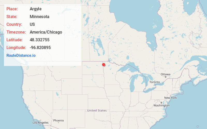
Static map view of Argyle, Minnesota
Browse Places by Distance
Places within specific distances from Argyle
Short Distances
Long Distances
Click any distance to see all places within that range from Argyle. Distances shown in miles (1 mile ≈ 1.61 kilometers).